This website is not designed to provide
directions or navigation of the trails but solely intended to give you an idea
what you may see and experience on the hikes.
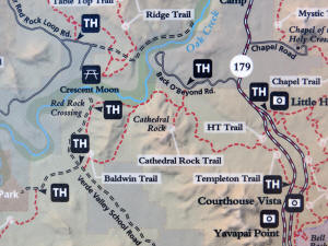
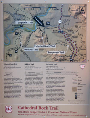
Click on Trail Map to Enlarge
.
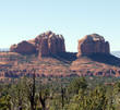
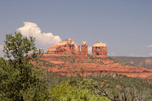
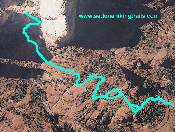
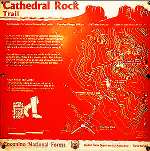
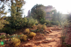
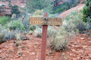
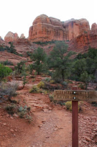
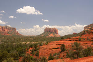
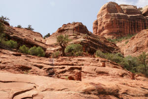
Cathedral Rock Trail
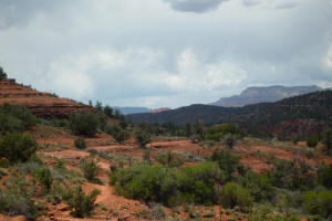
This is a short 0.7 mile but strenuous trail which quickly rises 608
feet in elevation. The midsection of the trail has a near vertical segment which
requires climbing. The trail is well marked and many hikers can be found
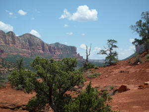
using the trail. The trail traverses the east side of the mountain and
thus the hike is better taken in the afternoon so one is hiking in the shade.
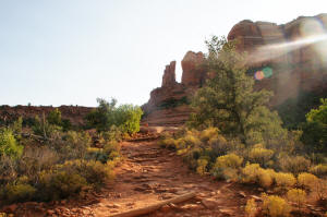
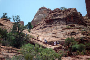
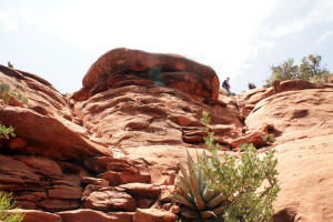
On the top,
there is a narrow plateau with steep slopes on each side. The width
is about that of a wide sidewalk and several stones are perfect for
sitting. One can enjoy the view if not afraid of the heights.
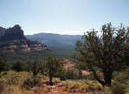
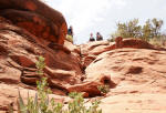
The hike ends at the northern saddle (picture
upper right), between the
middle and northern spire.
Note: All trail maps are
designed to give the hiker an idea what he/she will encounter. They are not designed for navigation or to be used as a source of
directions for a hike.
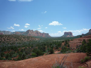
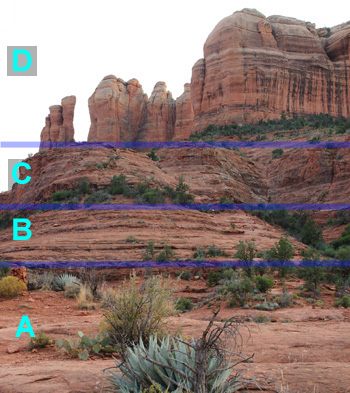
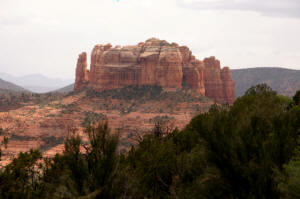
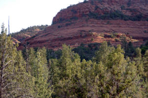
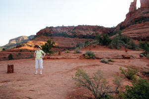
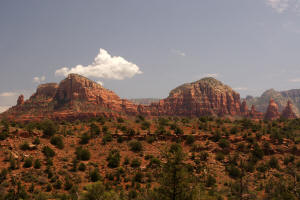
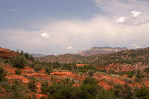
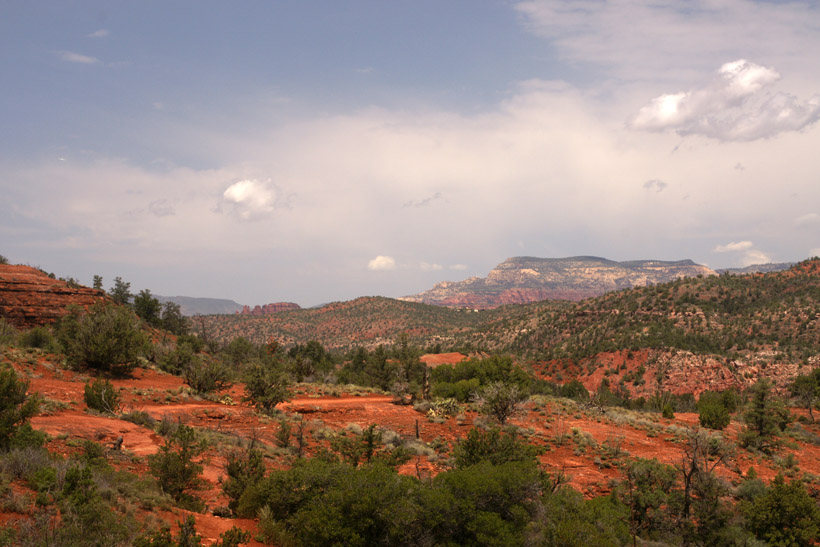
Cathedral Rock seen from the distance.
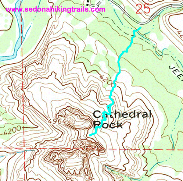
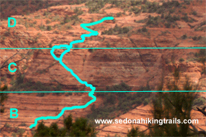
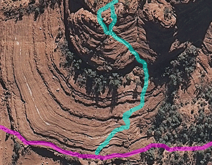
The picture below contains an enlarged section of the picture
showing the mid-portion of Cathedral Rock Trail.
Click on the Pictures
on the Right and the Pictures Below to Enlarge.
This is a
picture of the strenuous mid-portion (C) viewed from the distance.
In the last part of the steep section, one traverses up the crevice
in the middle of the picture. An outline of a trail appears
every 5 seconds.
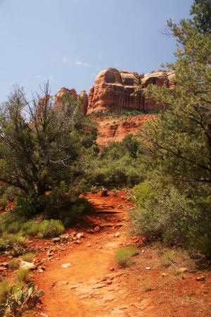
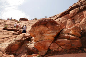
This is a picture of the steep portion viewed from
the distance. In the last part of the steep section, one
traverses up the crevice in the middle of the picture.
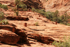
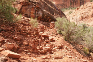
The picture below and to the right is taken at the base of the steep
section of the trail.
The initial ledge is above the the five foot
climb on a rock with poor footing.
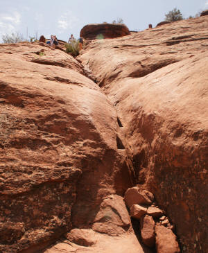
From this ledge there is a relatively easy
walk and short climb to the first cairn. There is a small
ledge which allows one to rest before heading up the groove.
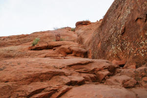
The groove is best traversed using footing
and hands for stabilization. This leads to another small
ledge and cairn (shown in picture on right) were the trail
divides in two.
In the upper and final section of the steep
part, I elected to climb up the lefthand (or east) fork and down
the west fork. It appeared easier.
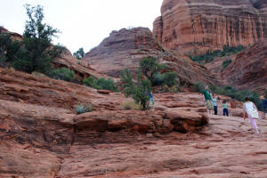
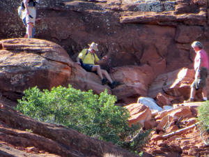
The initial ledge is above the five foot climb on
a rock with poor footing. Shown here is a hiker
sliding down the five foot climb area.
From this ledge there is a relatively easy walk
and short climb to the first cairn. There is a small ledge
which allows one to rest before heading up the groove.
The groove is best traversed using footing and
hands for stabilization. This leads to another small ledge and
cairn were the trail divides in two.
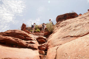
At the upper part of the grove, a few rock steps
lead to the second cairn and a small plateau.
In the upper and final section of the steep part,
I elected to climb up the east fork - on the left. It appeared
easier. Note the cairn on the west fork.
Click on pictures to enlarge


