|
The left is an aerial view of Devil's Bridge Trail.
The trail is 0.8 miles long with an elevation of 350 feet. The
last part of the trail has areas which require use of both arms and
legs to transverse.
Click on Pictures to Enlarge
|
 |
|
More Information Regarding
Devil's Bridge from the Forest Service USDA:
https://www.fs.usda.gov/recarea/coconino/
recreation/hiking/recarea/?recid=55292&actid=50
|
|
Trail Map shows the trailhead. However,
there is only a very rough jeep road which cars are not able to
travel. Thus, most hikers approach the trail head via
Chuck Wagon Trail or Hike Forest Road 152.
|

|
|
|
|
|
|

Entrance to Parking Lot off Forest Road 152.
|
|
Devils Bridge Trail Parking Lot.
|
 |
|
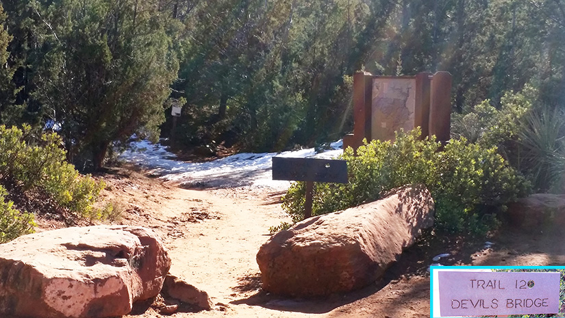
Devil's Bridge Trailhead
|
 |
|
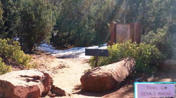
Beginning of Devil's Bridge Trailhead
|
 |
|
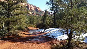
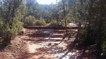
Devil's Bridge Trail
|
 |
|
|
|
|
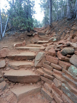
The trail starts to become steeper and natural
rock steps can be seen.
|

|
|
The trail continues to steepen.
|

|
|
Large natural rock step.
|
 |
|
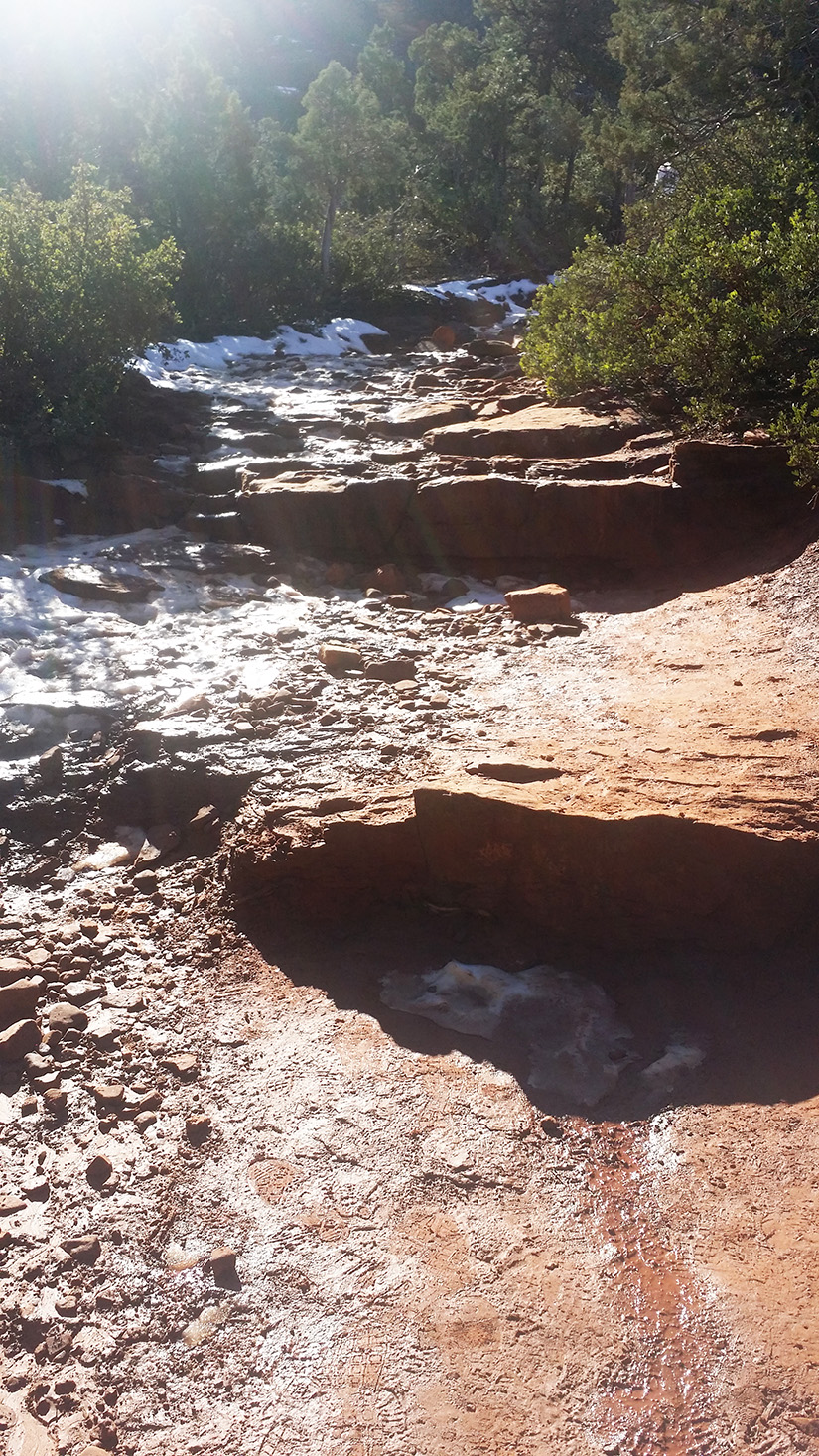
Rock steps. Note the snow
covering the rocks. This picture was taken during
the winter months.
|

|
|
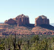
Western face of Courthouse Butte.
|
 |
|
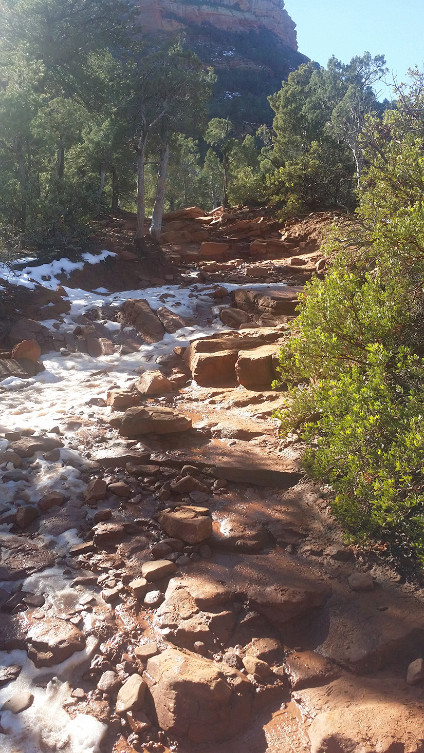
Large rock steps before the steep ascent of the
trail is reached..
|

|
|
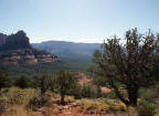
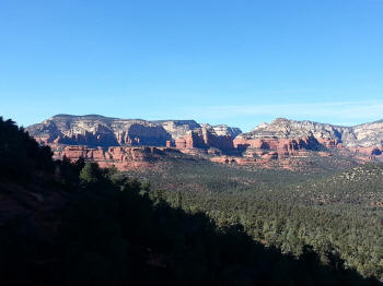
View to the South.
|
 |
|
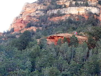
View up the trail. Note the hiders on a
rock ledge at the first part of the steep ascent.
|
 |
|
Starting the Ascent. Note the man made rock
steps.
|
 |
|
View to the South, higher up on the trail.
|
 |
|
View of Devil's Bridge from the Trail Below.
|
 |
|
Starting the Very Steep Ascent. There are
several areas which require both arms and legs to ascent.
|

|
Continuation of Hike:
Ascent To Devil's Bridge
|