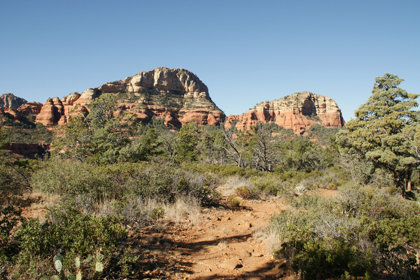
The Trail on Top of Brins Mesa
|
|
|
|
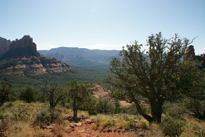
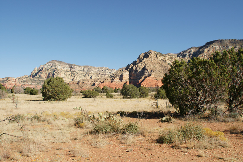
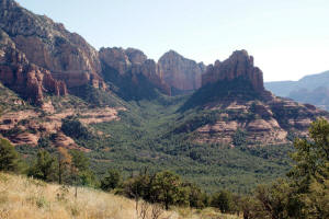
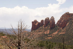
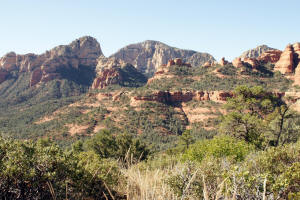
The picture on the right shows the view from the
top of Brins Mesa Trail looking
down Mormon Canyon.
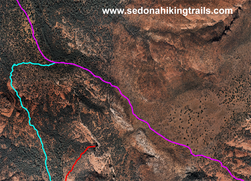
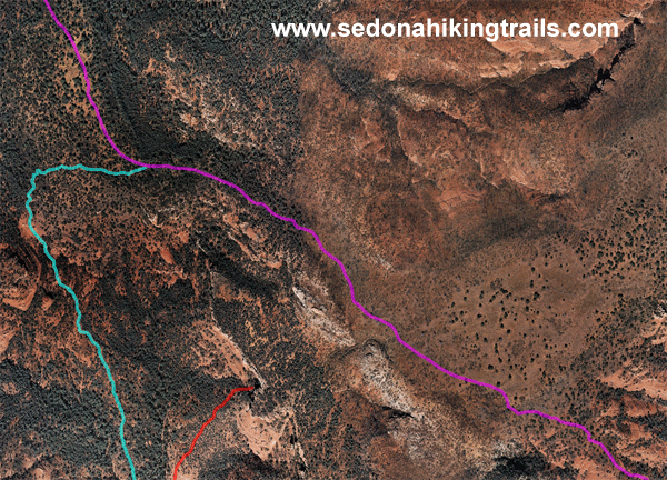
The aerial photograph below shows the
trail (Purple) on the top of Brins Meas. Soldier Pass Trail is shown in Light Blue. Soldier Pass Trail will lead the to Seven Sacred Pools and to the
Devil's Kitchen Sinkhole.
|
|
 |
|
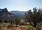
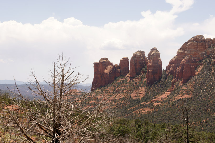
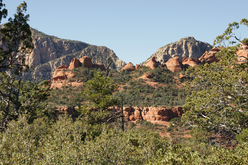
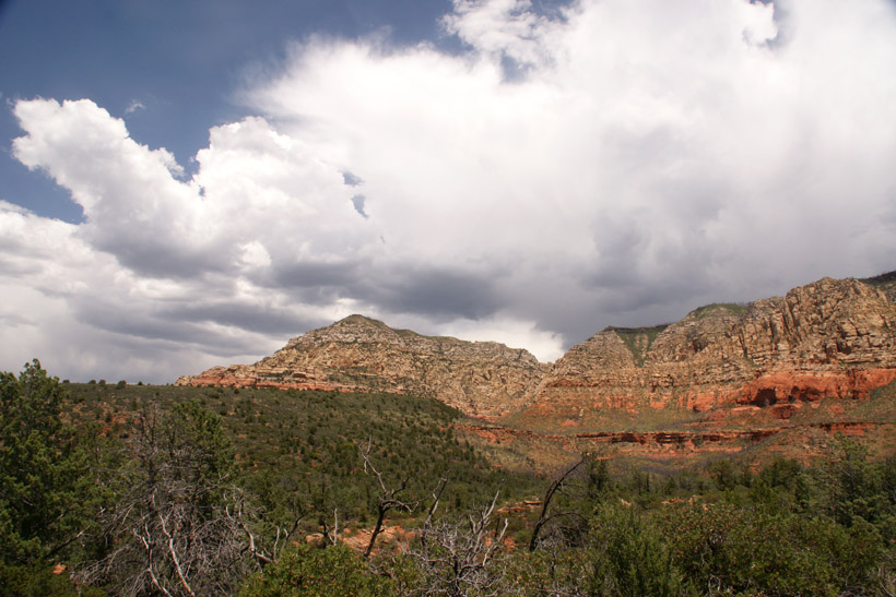
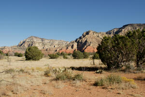
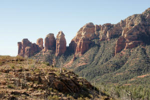
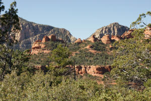
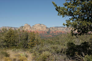
Looking East across Mormon
Canyon and viewing the southern tip of Wilson Mountain.
|
|
|
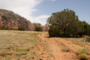
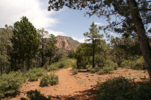
Top of Brins Mesa looking North.
|
|
|
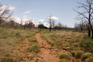
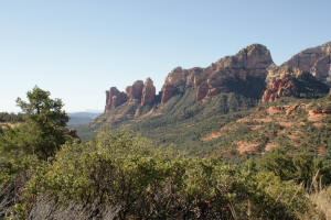
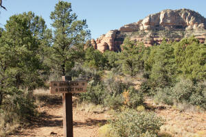
Top of Brins Mesa looking East (back) toward rim
of Mormon Canyon.
|
|
|
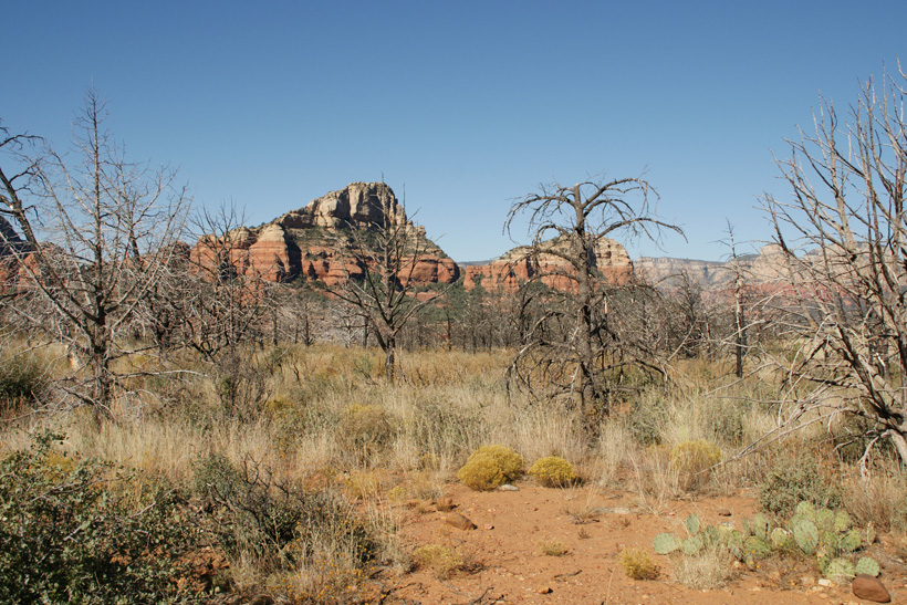
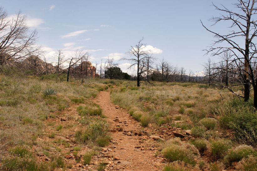
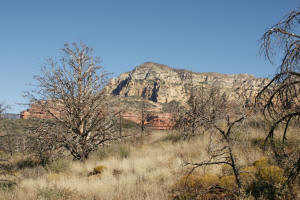
In 2006, there was a very large
fire involving Brins Mesa. Many burnt and dead trees can be
seen. The picture shown on the right is the top of Brins Mesa looking
North.
|

|
|
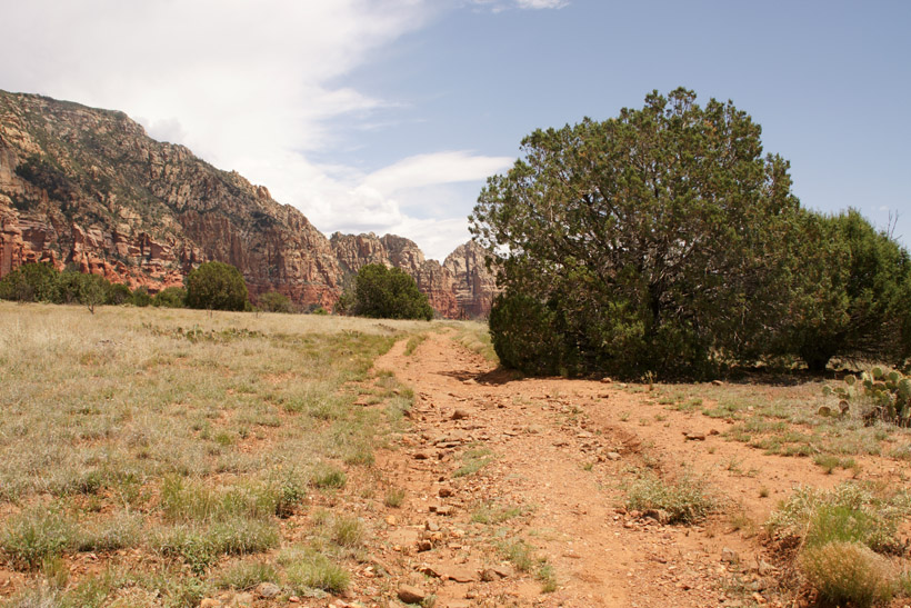
Mesa Trail on top of the Mesa looking West toward
the burnt area.
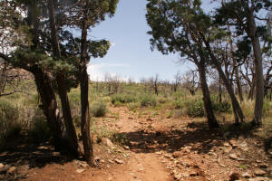
Traveling to the West, one enters the heart of the
burnt area.
|

|
|
Mesa Trail on top of the Mesa looking East.
|
|
|
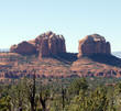
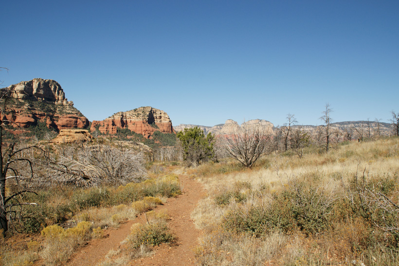
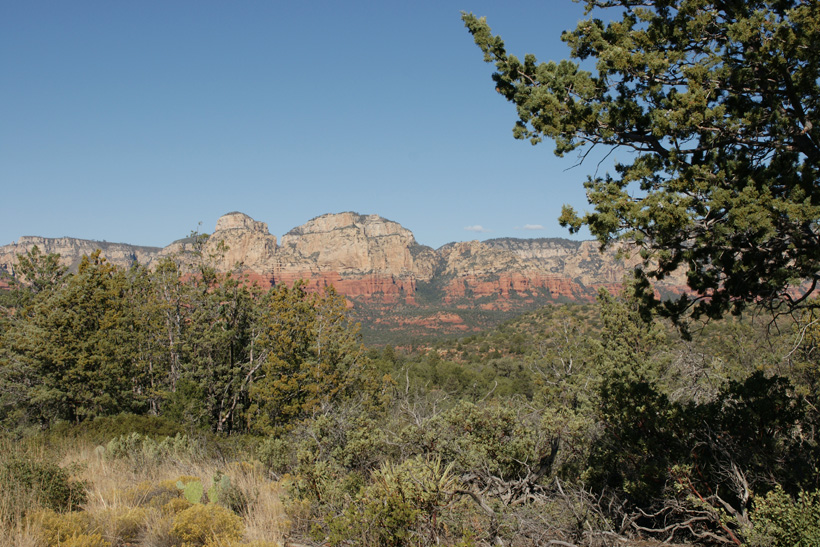
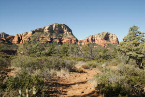
Top view looking Southwest over
Soldier Pass.
|
|
|
|
|
|
Top of Brins Mesa looking
Northeast.
|
|
|
Top of Brins Mesa looking East (back) from the
wooded area into the burnt area.
|
|
|
Top of Brins Mesa in remaining
wooded area - looking East (back).
|

|
|
Top of Brins Mesa in remaining
wooded area - looking West.
|
|
|
Brins Mesa looking West.
|
|
|
Brins Mesa looking Southwest.
|
|
|
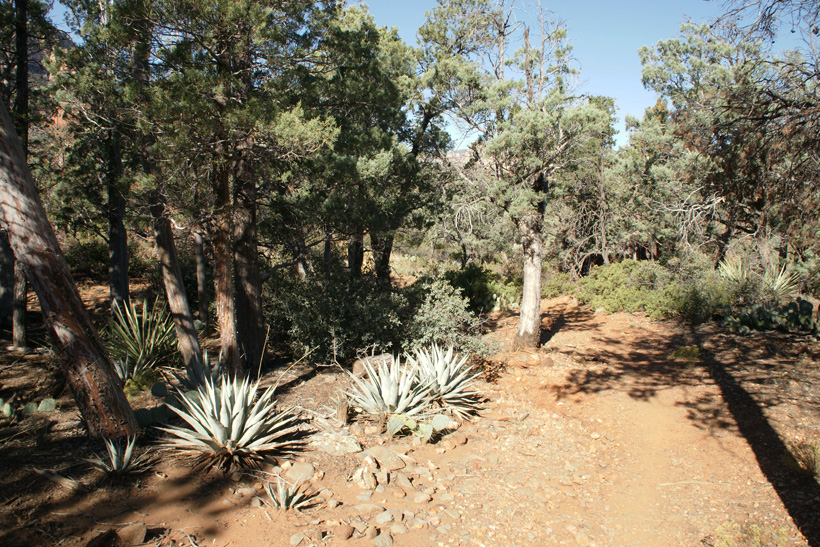
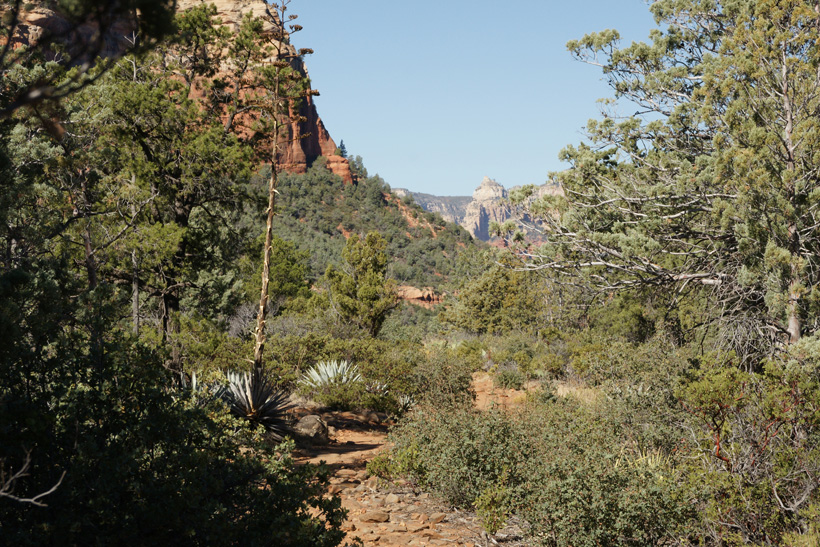
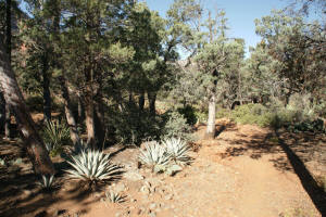
View of top forested portion of
trail.
|

|
|
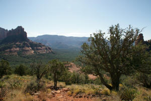
View of Soldiers Pass from Brins Mesa looking
Southwest.
|
|
|
View of Soldiers Pass from Brins Mesa looking
West.
|
|
|
Top of Brins Mesa looking
North.
|
|
|
Top of Brins Mesa looking
North.
|

|
|
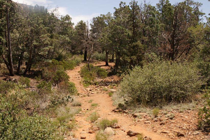
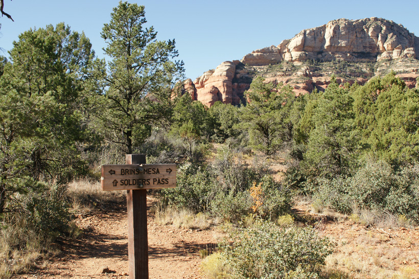
Top of Brins Mesa wooded area just before Soldier Pass
Trailhead.
|
|
|
Soldier Pass Trailhead on Brins
Mesa.
|
|
|
Continuation of Hike:
Hiking Down Soldier Pass Trail
(Northern Trail Head)
|
|