|
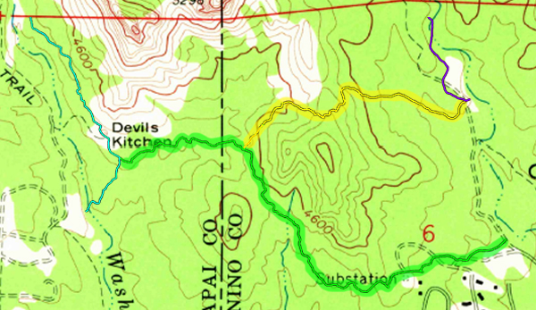
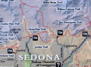
Jordan Trail to Cibola Pass Trail Ending at Brins Mesa Parking Lot
|
These two trails will lead a hiker from Devil's Kitchen Sinkhole
to Brins Mesa parking lot.
For more information go to the U.S. Forest Service Website.
http://www.fs.fed.us/r3/coconino/recreation/
red_rock/north-urban-tr-east.shtml
|
|
|
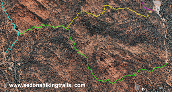
The Trail can be divided into two segments:
-
Jordan Trail
(outlined Green on the maps below) is
joined
which Leads to the Devil's Kitchen Sinkhole - Approximately 0.3
Miles
-
Cibola Pass Trail
(outlined Yellow on the maps below) Approximately a one mile
hike with a 250 foot elevation to Brins Mesa parking lot.
|
 |
|
|
|
|
|
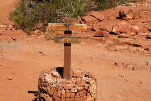
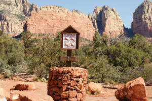
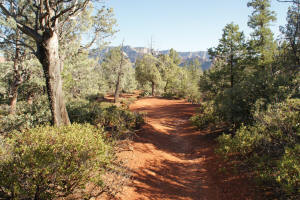
Trailhead for Jordan Trail by Devil's Kitchen
Sinkhole
|
|
|
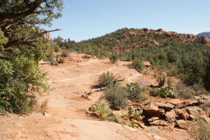
Jordan Trail near Devil's Kitchen Sinkhole.
|
|
|
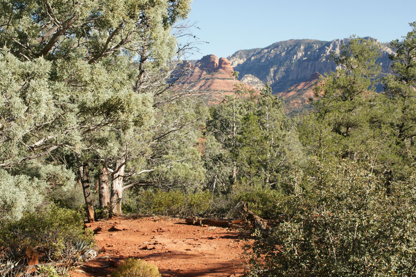
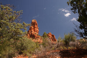
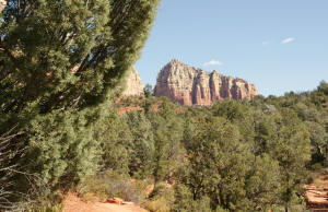
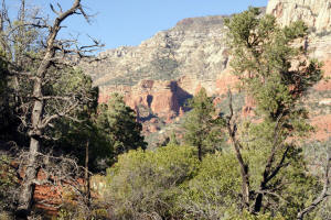
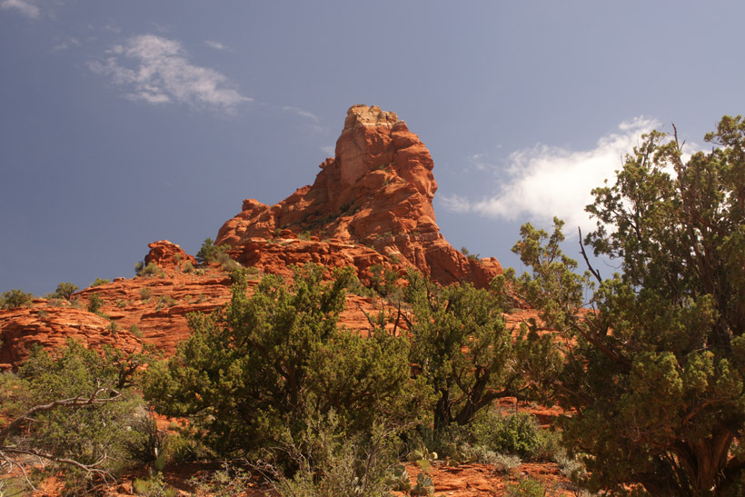
The Sphinx Rock Formation can be seen from this portion of the
trail.
|
|
|
 |
|
The Sphinx - Close Up View.
|

|
|
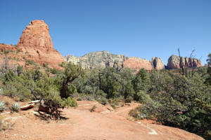
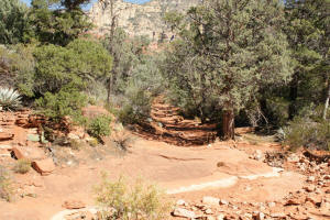
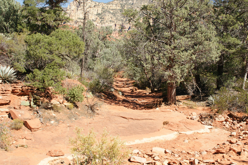
Heading east, just pass Devil's Kitchen Sinkhole.
|
|
|
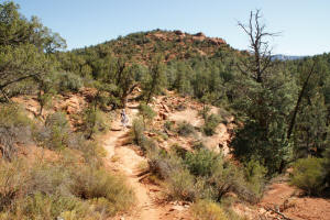
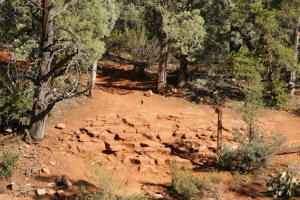
The small knoll on the horizon separates Cibola
Pass Trail which will travel to the left (North) of the knoll and Jordan
Trail which will go to the right (South) of the knoll. Cibola
Pass Trail branches off (to the left) of Jordan Trail at the base of the knoll.
|
|
|
|
|
|
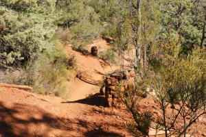
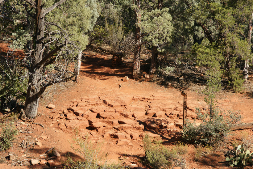
Hiking toward the base of the knoll.
|
|
|
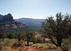
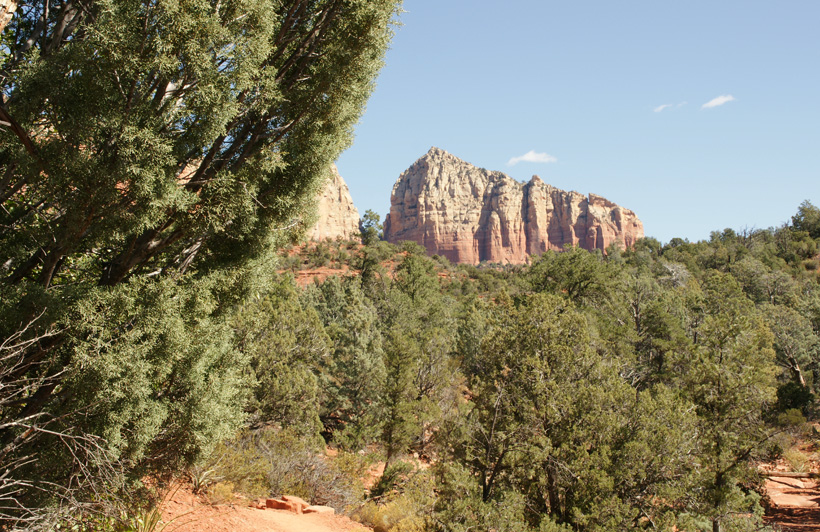
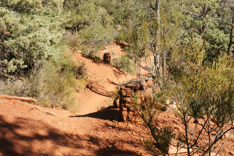
View to the East.
|
|
|
|
|
|
|
|
|
Jordan Trail before Cibola Pass Trailhead
|
|
|
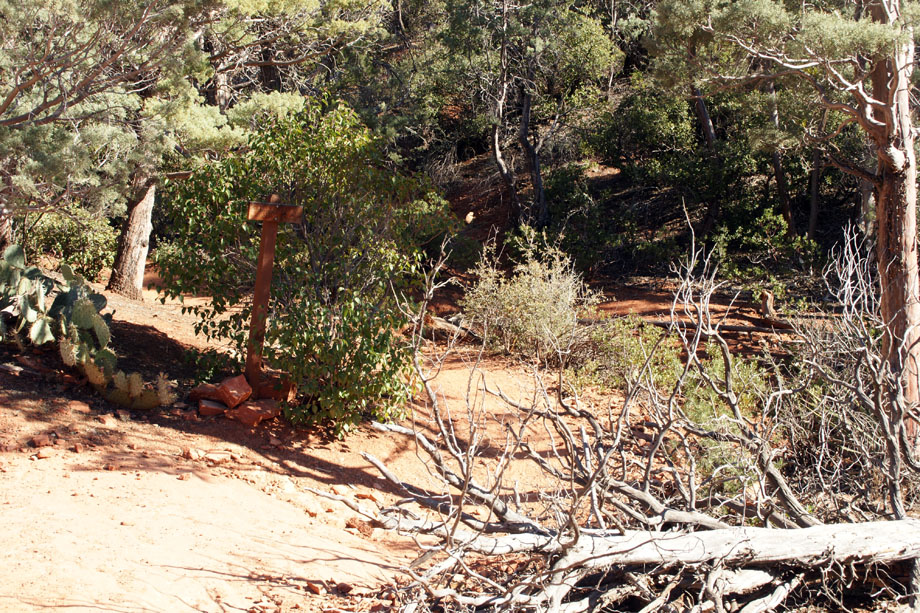
Trail Junction with Cibola Pass Trail.
|
|
|
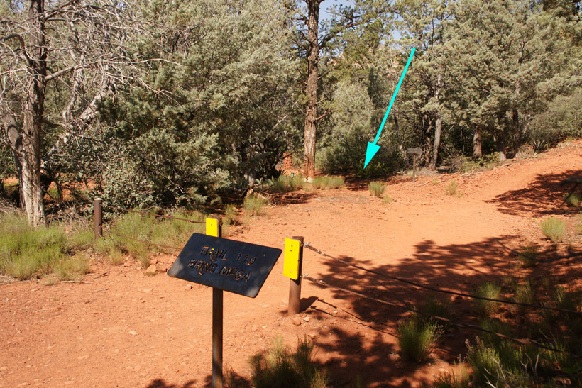
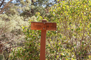
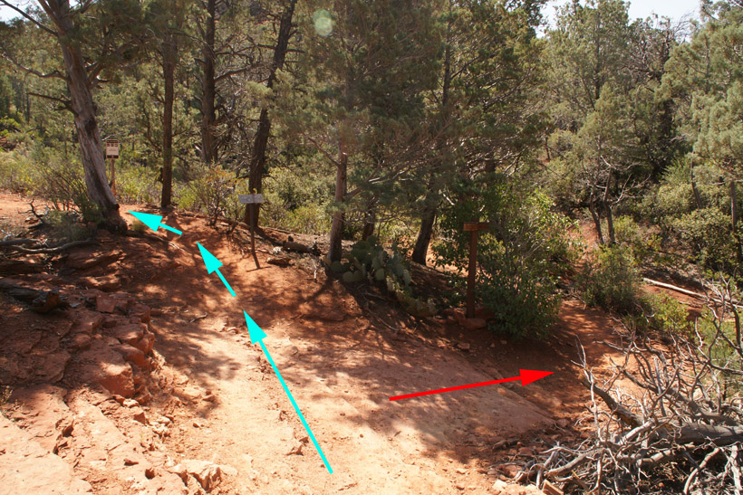
Trail Branches: |
|
At the trail Junction, the trail to the left
is Cibola Pass Trail (blue arrow picture below). Jordan Trail leads to
the right (red arrow). Note the sign designating this as
a wilderness area. Cibola Pass is a shorter trail and has much
better views.
If one takes the right hand trail (red
arrow), you will
travel one mile to Jordan Trail's junction with West Park
Ridge Drive and the old Brins Mesa Parking Lot (view
pictures from this part of the trail). At the junction, you will have to hike
for approximately 0.4 miles North (to the left) along the portion of
Jordan Trail which is next
to the road to reach the new Brins Mesa Parking Lot. This is a
longer trail back to the new Brins Mesa Parking Lot, and is not
aesthetically pleasing, taking you by a power station and utility lines.
|
Trail Junction


|
|
View to North.
|
_small.jpg)
|
|
|
_small.jpg)
|
|
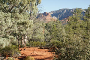
View to North as one ascends to the top of the
pass.
|

|
|
View to North before reaching top of pass.
|
_small.jpg)
|
|
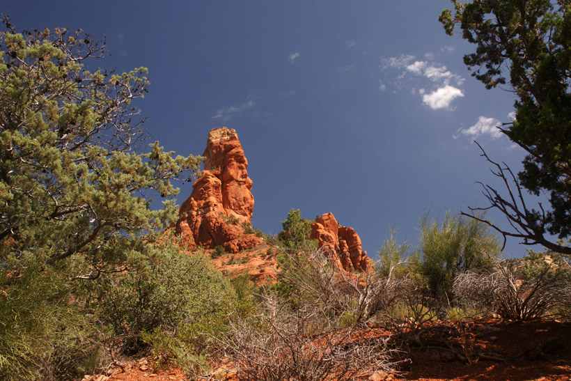
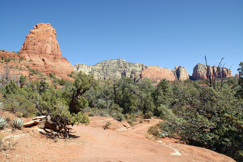
Looking back towards the West. Note Chimney
Rock which can be seen on the horizon.
|
_small.jpg)
|
|
Looking North from the top of the pass.
|

|
|
|
_small.jpg)
|
|
Looking East from the top of the pass.
|
_small.jpg)
|
|
Hiking down East side of pass.
|
|
|
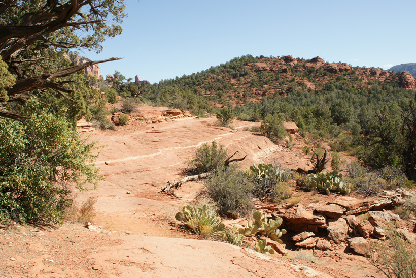
Trail starts to flatten as one enters Mormon
Valley.
|
|
|
|
|
|
Do not go onto the old Cibola Pass Trail. A
log blocks the old trail which leads to the upper right had corner
of the picture. The new trail goes to the left hand side of
the picture.
|

|
|
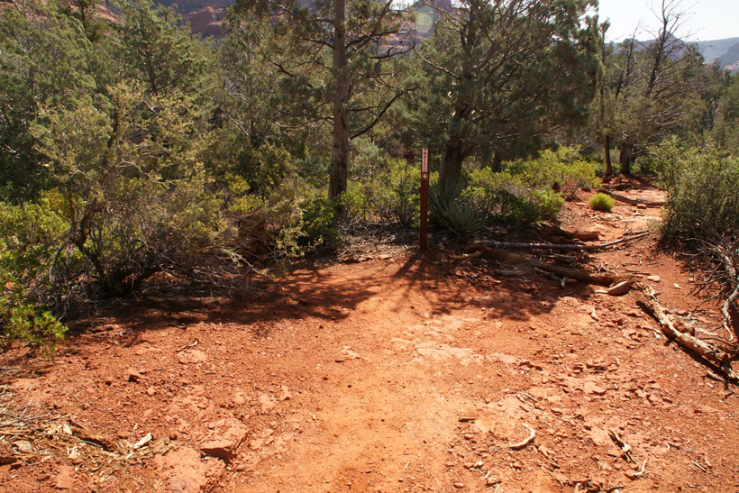
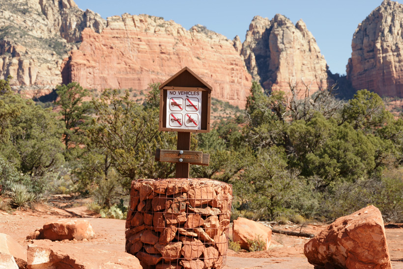
After a short hike the
eastern trailhead is reached at the Brins Mesa Trailhead. (Blue arrow shows
the end of Cibola Pass Trail.)
|

|
|
Continuation of Hike: To
Brins Mesa Parking Lot and Birns Mesa Trailhead
Other Links
|


.jpg)
.jpg)

.jpg)
.jpg)

.jpg)
.jpg)