|
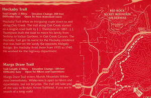
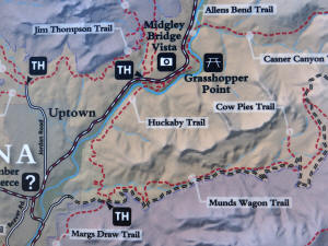
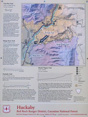
Huckaby Trail
Huckaby trailhead is
off of Schnebly Hill Road, just before the
pavement ends.
-
Huckaby Trail -- 2.6 mile moderate
trail leading from the Schnebly Hill trailhead to Midgley
Bridge.
However, one must be prepared to forge Oak Creek since there is
no dry crossing.
-
Margs Draw Trail - 2 miles easy trail.
|
|
Go To Midgley Bridge -
Northern Huckaby Trail Trailhead
|
Click on Maps to Enlarge |
|
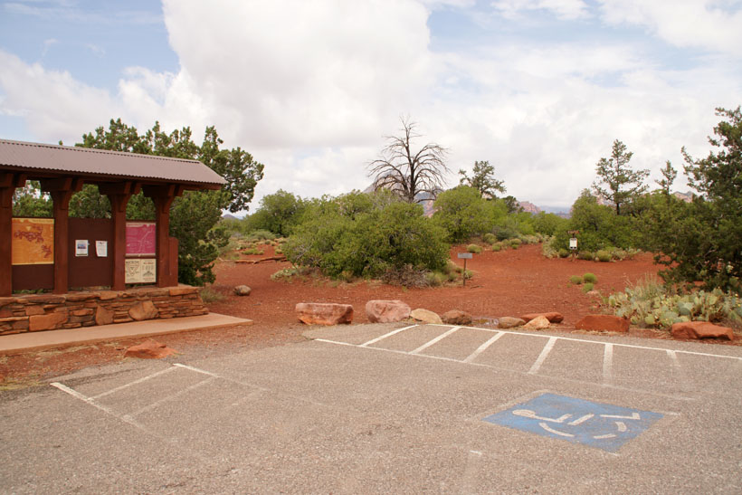
Huckaby parking lot and
southern trailhead.
Click on Pictures to
Enlarge
|

|
|
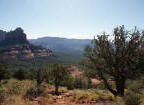
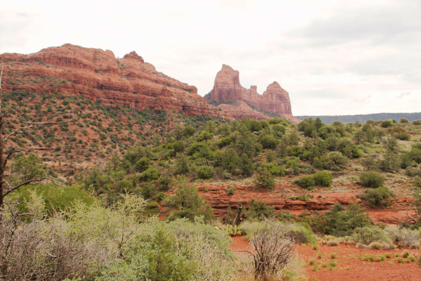
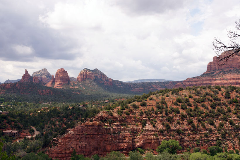
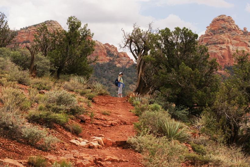
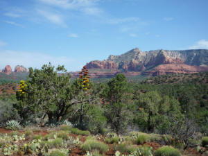
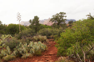
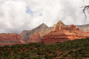
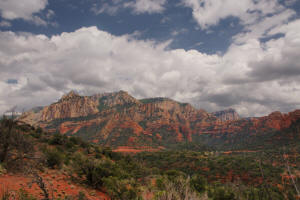
View to the North from the
beginning of Huckaby Trail at the Schnebly Hill
trailhead. Note the two agaves in the
foreground and Steamboat Rock and Wilson
Mountain on the distant horizon.
|
|
|
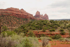
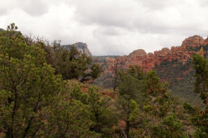
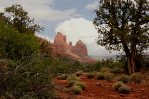
View to the East from the
beginning of Huckaby Trail at the Schnebly Hill
trailhead.
|
|
|
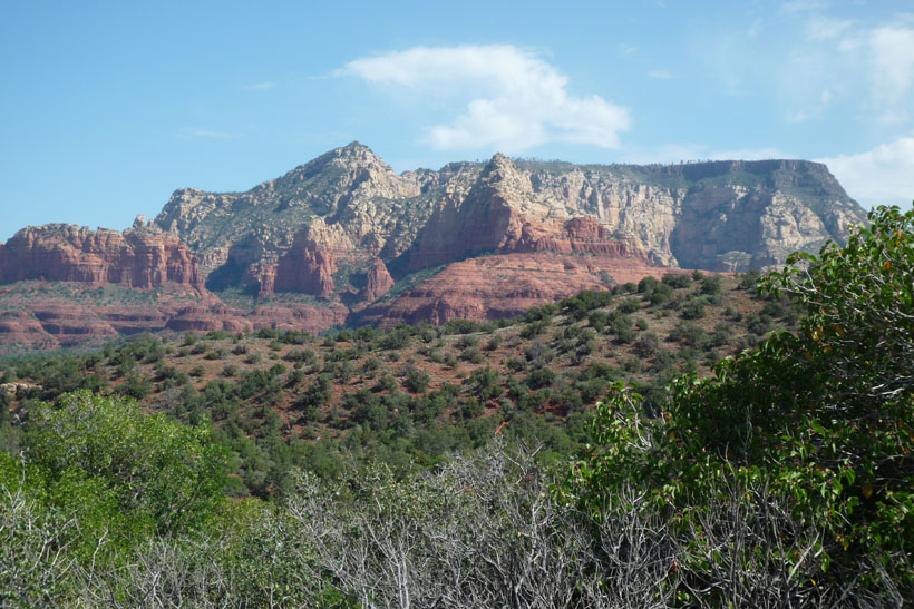
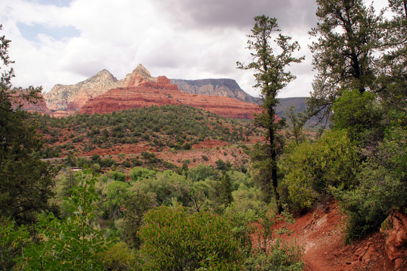
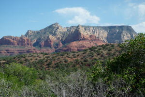
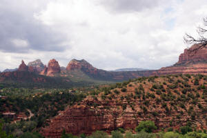
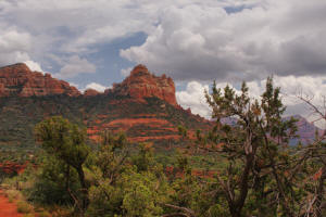
View to the Southwest toward
Cathedral Rock.
|
|
|
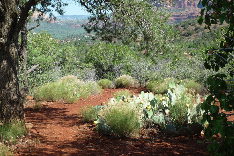
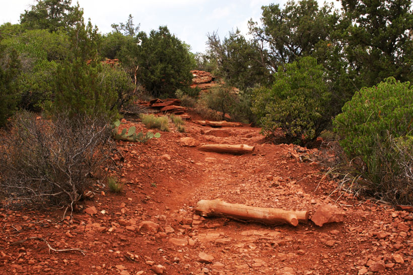
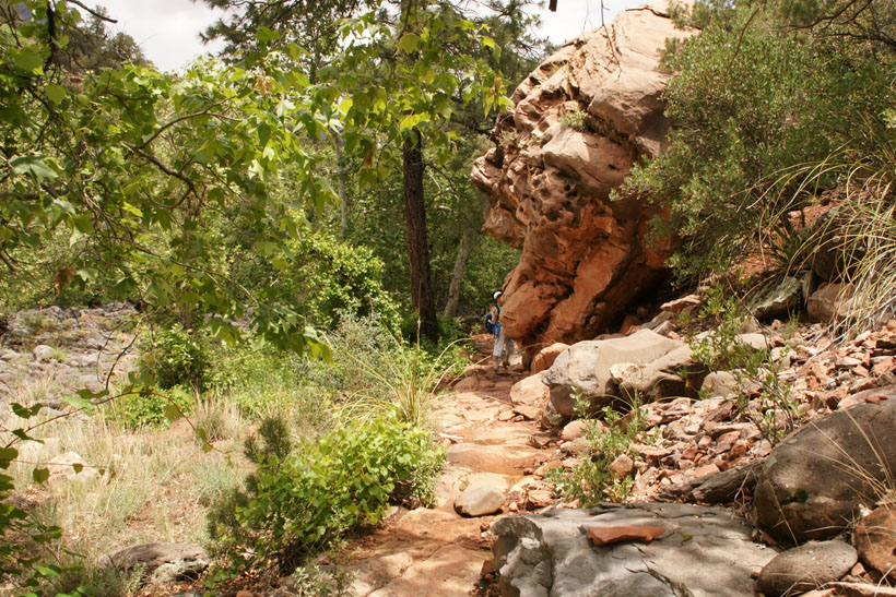
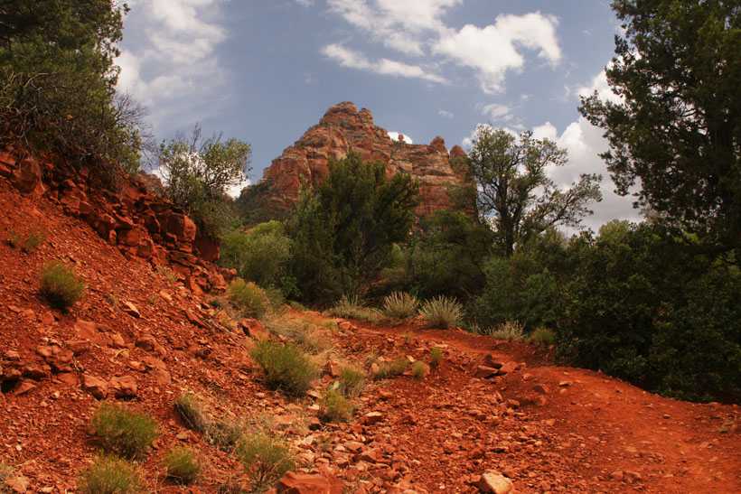
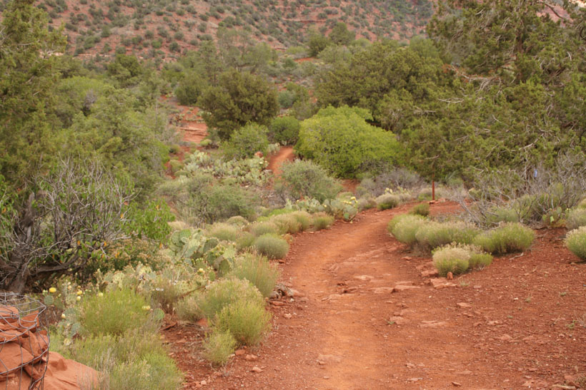
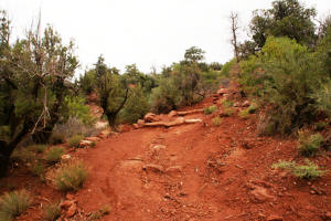
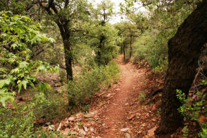
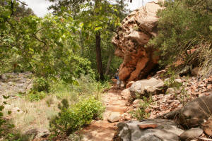
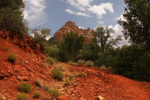
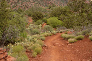
Beginning of Huckaby
Trail.
|
|
|
|
|
|
|
|
|
|

|
|
|

|
|
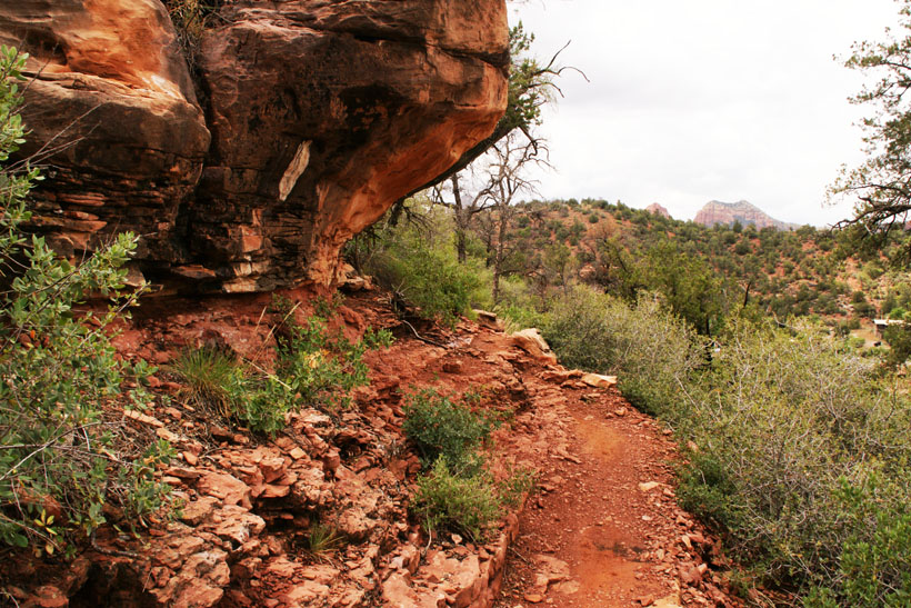
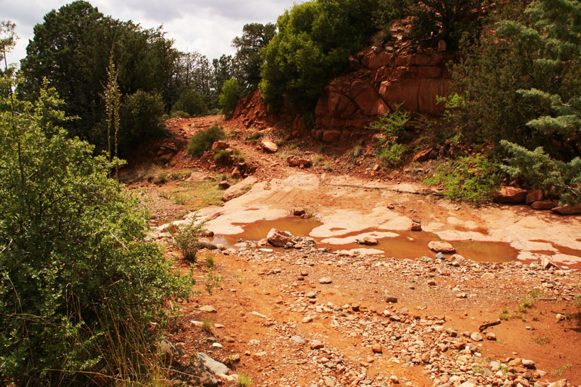
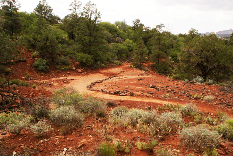
A creekbed is crossed.
|

|
|
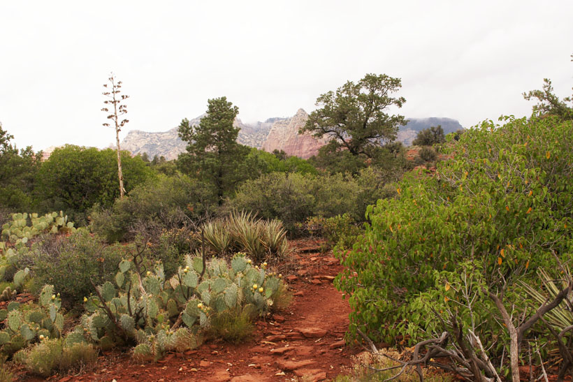
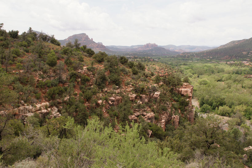
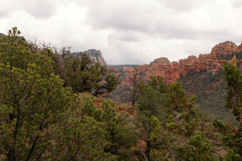
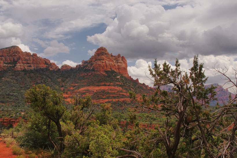
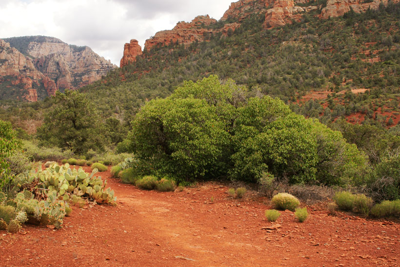
View to the Southwest.
|

|
|
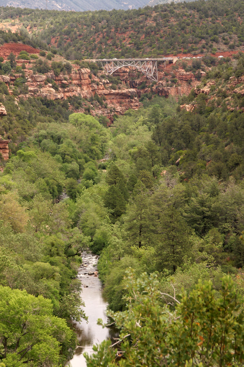
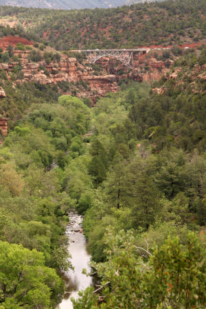
View of Midgley Bridge
and Oak Creek Canyon.
|
|
|
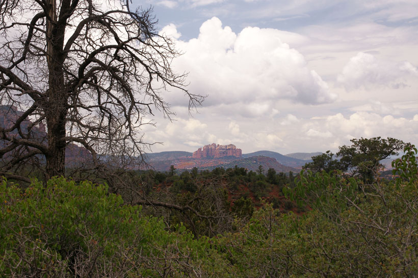
View to the North. Steamboat
Rock can be seen in the distance, in front of
Wilson Mountain. |

|
|
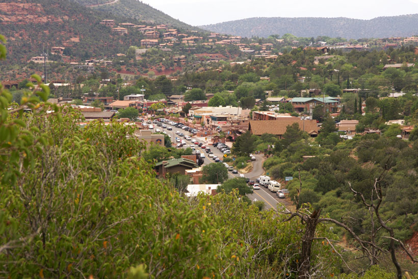
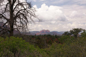
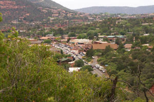
View of Sedona, Arizona.
|
|
|
View to the West. Note
the Mitten Rock formation on the horizon.
|
|
|
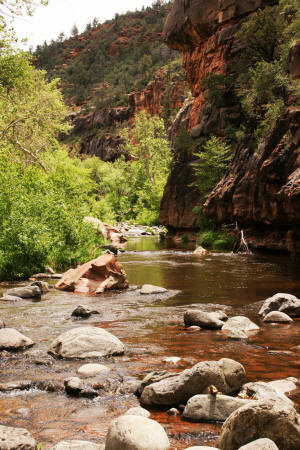
Oak Creek Canyon.
|
|
|
|
|
|
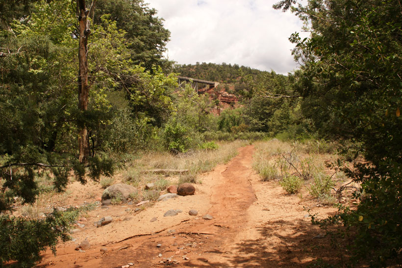
View of Midgley Bridge from
Oak Creek Canyon.
|

|
|
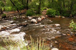
Oak Creek too high to pass.
|
|
|
|
|
|
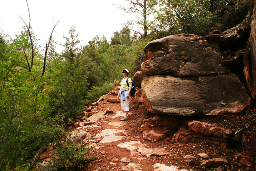
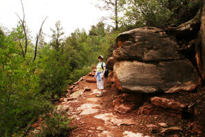
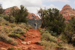
Hiking back up the trail.
|
|
|
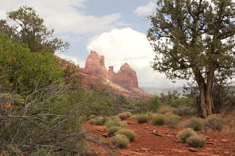
View to the North.
|
|
|
|

|
|
|
|
|
|
|
|
|
|
|
|
|
|
View to the South.
|
|
|
View to the East.
|
|
|
Approaching trail end -- View
to the North.
|
|
|
Approaching trail end.
|

|
|
Approaching trail end --
Huckaby parking lot is just past the end of the
trail.
|

|
|
|