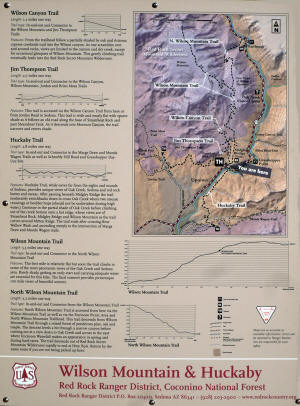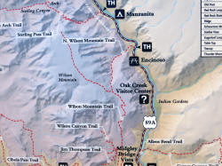
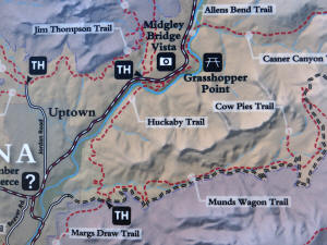
Wilson Mountain Trail
Click on Map to
Enlarge |
|
|
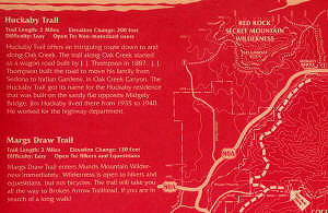
Go To Huckaby Southern Trailhead (Schnebly Hill
Rd.)
|
|
|
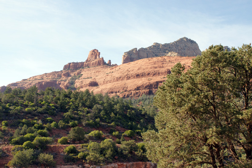
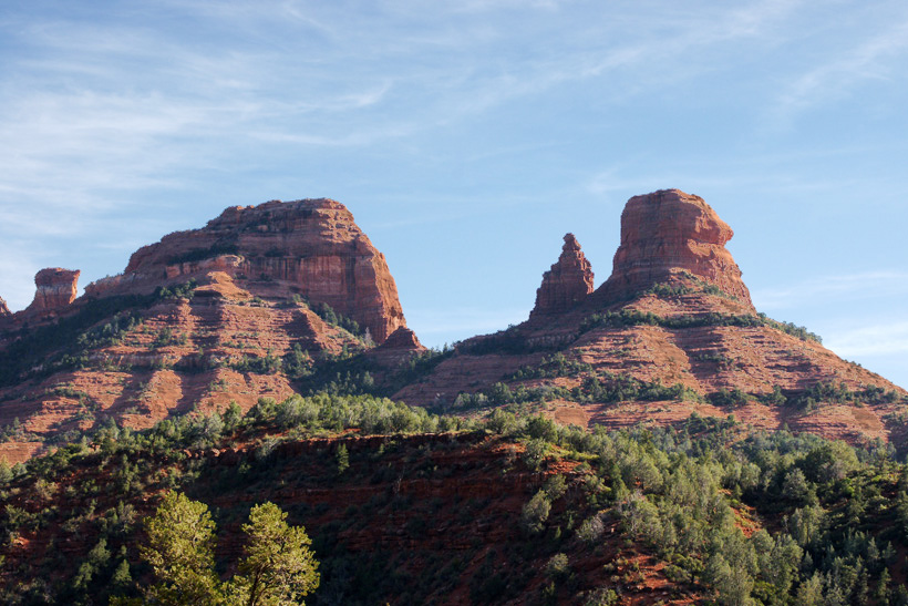
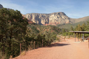
Midgley Bridge parking lot, looking north at Wilson Mountain. The
northern trailhead leads to the Wilson Mountain
Trail, Wilson Canyon Trail and Jim Thompson
Trail.
Click on Pictures to
enlarge
|
|
|
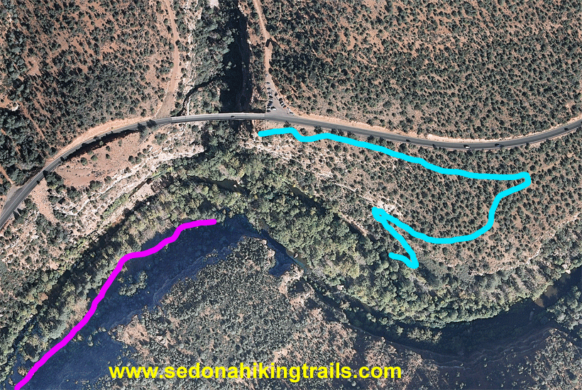
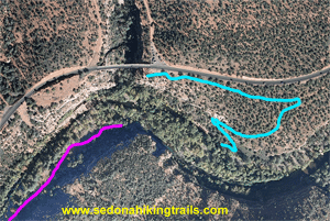
Midgley Bridge Vista and the
Huckaby Trail Northern Trailhead (Blue).
The trail extends on the other side of Oak Creek
(Purple). The trail outline
will disappear every 5 seconds.
Between the two trails there
is not a well defined path. In addition,
Oak Creek will have to be forged since these is
no bridge.
|
 |
|
The Jim Thompson Trail
traverse south of Wilson Mountain and ends in
the Brins Mesa
Trail parking lot.
|

|
|
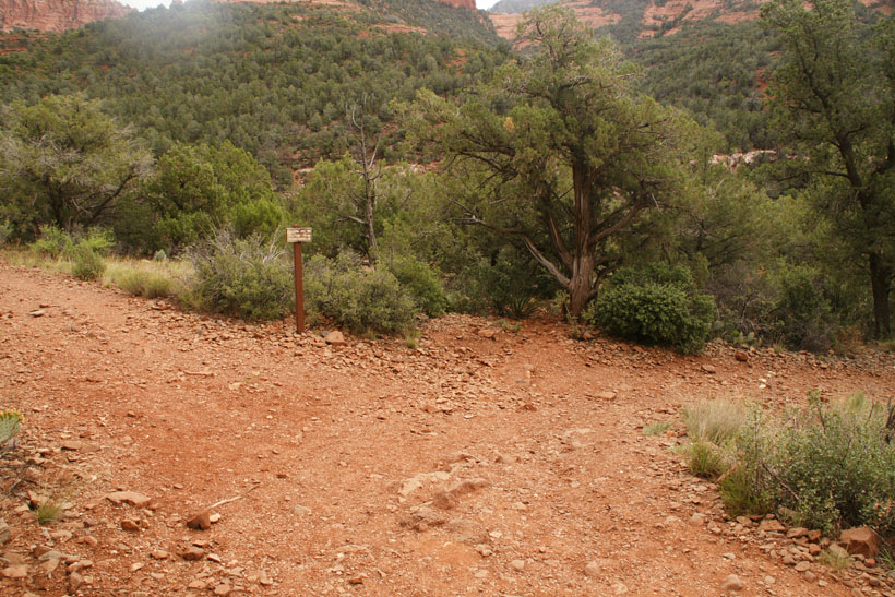
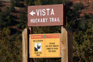
Trail sign at west side of
parking lot, marking trail to Midgley Bridge
Vista and Huckaby Trailhead.
|
|
|
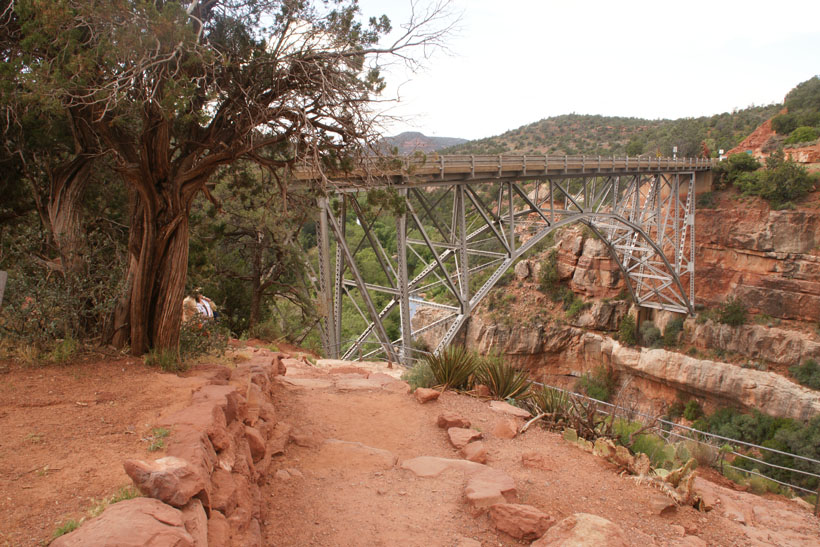
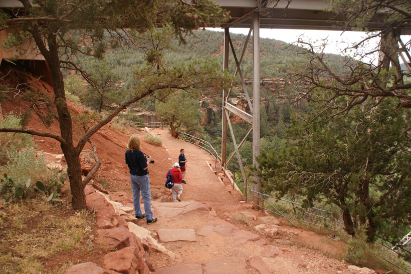
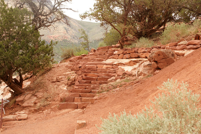
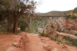
Midgley Bridge Vista
|
|
|
|

|
|
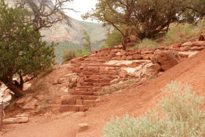
Looking back at the stairs
leading to the vista.
|
|
|
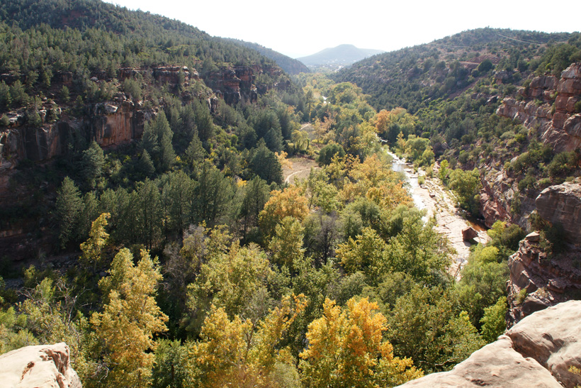
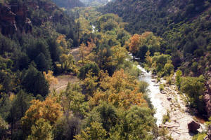
View of Huckaby Trail in the
portion which follows Oak Creek. This
trail leads from Midgley Bridge to Schnebly Hill
Road parking lot - Fall.
|
|
|
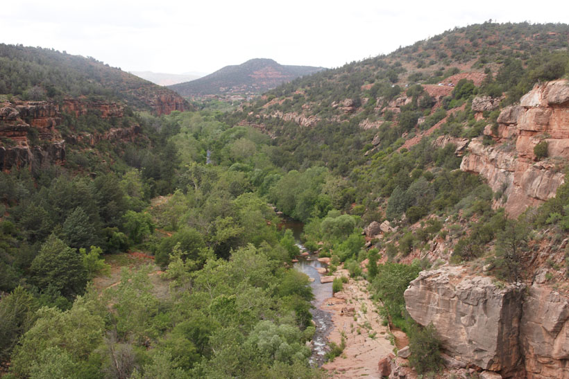
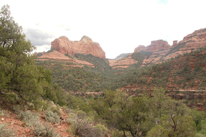
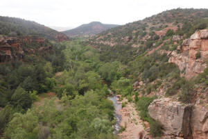
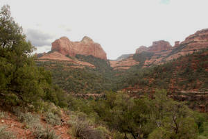
View of Oak Creek Canyon in
spring.
|
|
|
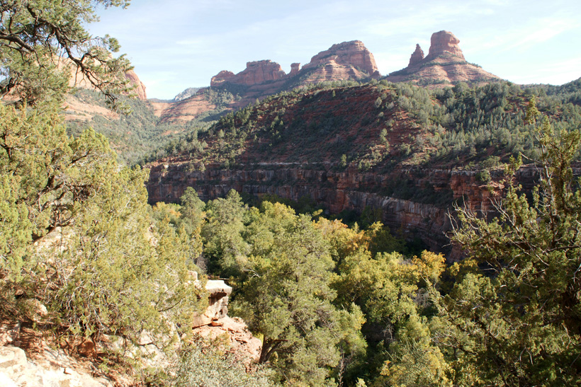
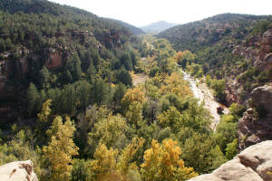
View up Oak Creek Canyon from
Midgley Bridge
Vista. |

|
|
View down Oak Creek Canyon
from Midgley Bridge Vista.
|
|
|
View to the East from Midgley
Bridge Vista.
|

|
|
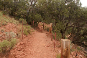
Start of Huckaby Trail off of
Midgley Bridge VIsta
|
|
|
Start of Huckaby Trail off of
Midgley Bridge VIsta
|
|
|
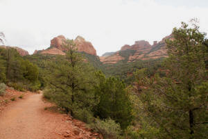
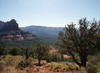
Looking Northeast from the
trail.
|
|
|
|
|
|
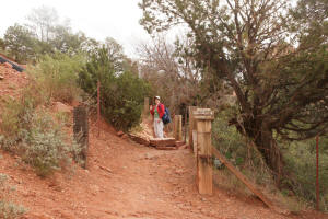
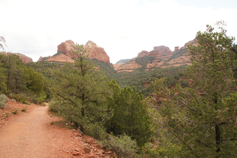
The trail now branches to the
right and descends downhill. Grasshopper
Trail continues straight ahead (left side of
picture).
|

|
|
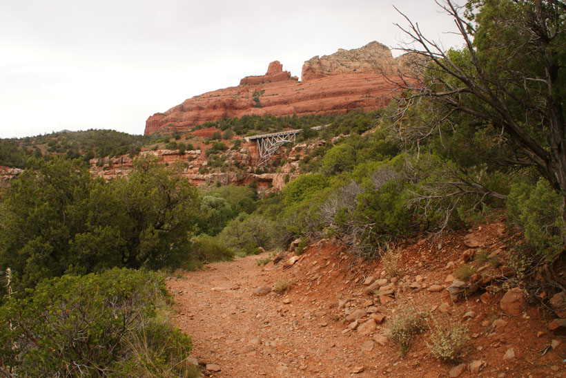
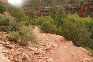
View of Midgley Bridge as
Huckaby Trail descends into Oak Creek Canyon.
Steamboat Rock can be seen on the horizon.
|

|
|
|
|
|
Go To Second Half of
Huckaby Trail Along Oak Creek
|


 Click
on Map to Enlarge
Click
on Map to Enlarge