|
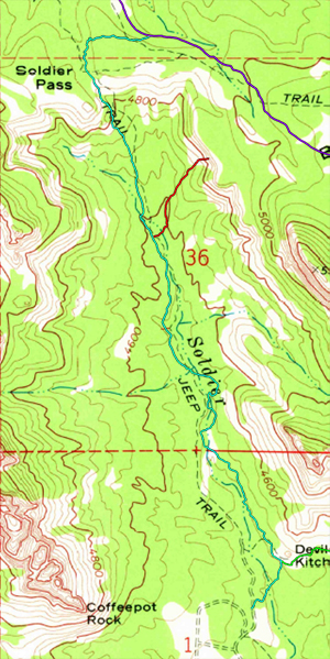
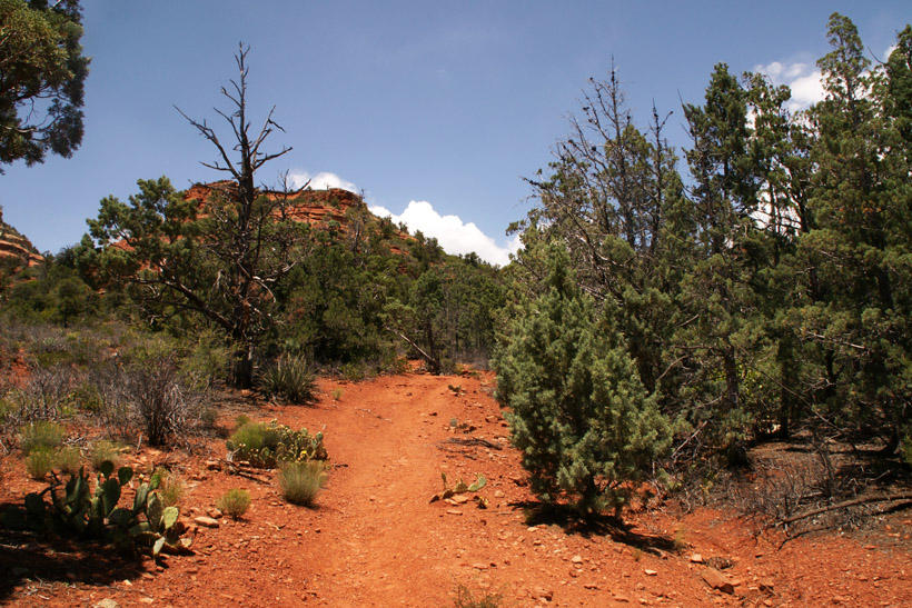
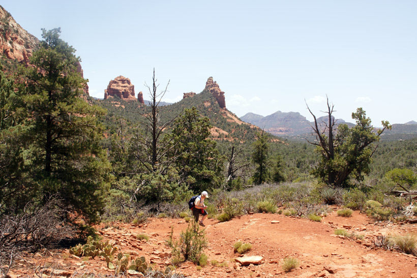
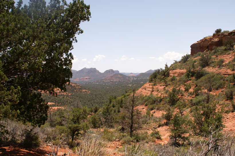
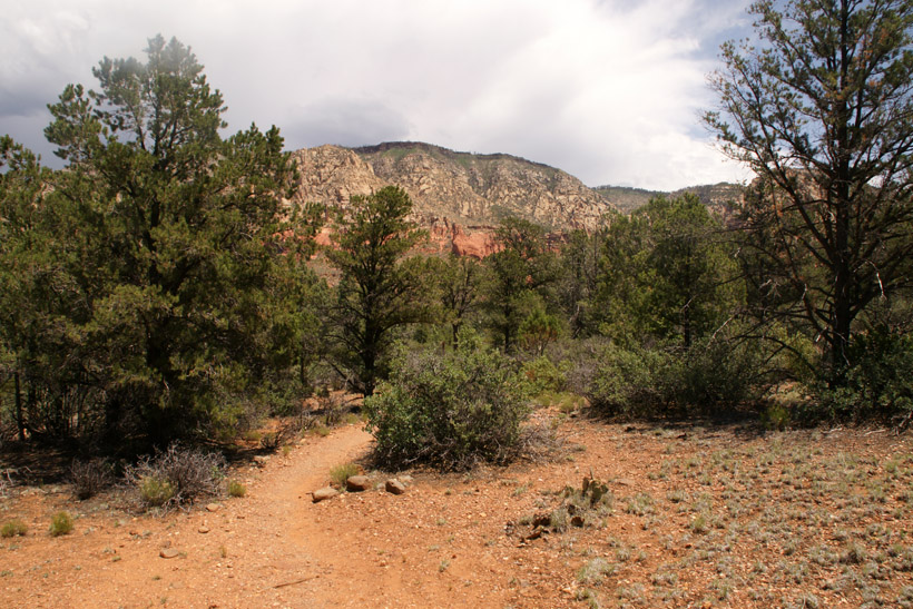
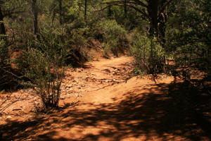
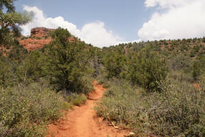
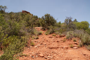
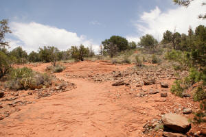
Last leg of Soldier Pass trail leading to the
Soldier Pass Arches Trailhead and to Brins Mesa. In this
section, the trail travels along in a dry creek bed.
|
|
|
|
|
|
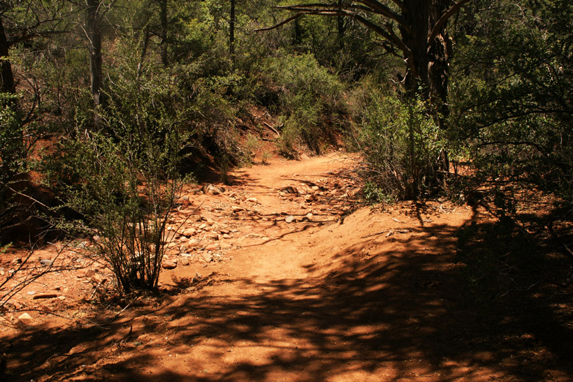
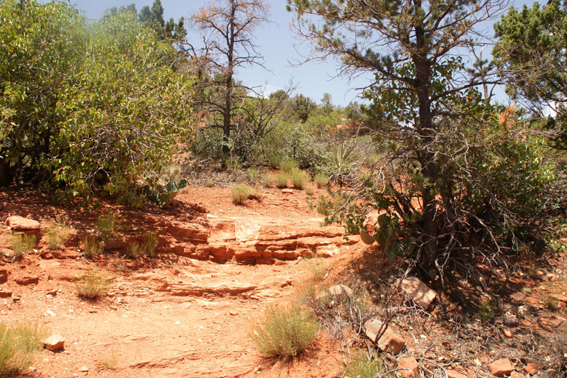
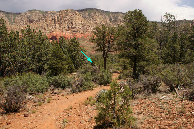
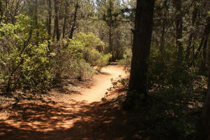
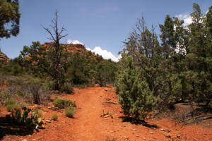
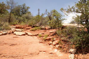
The trail leaves the creek bed.
|
|
|
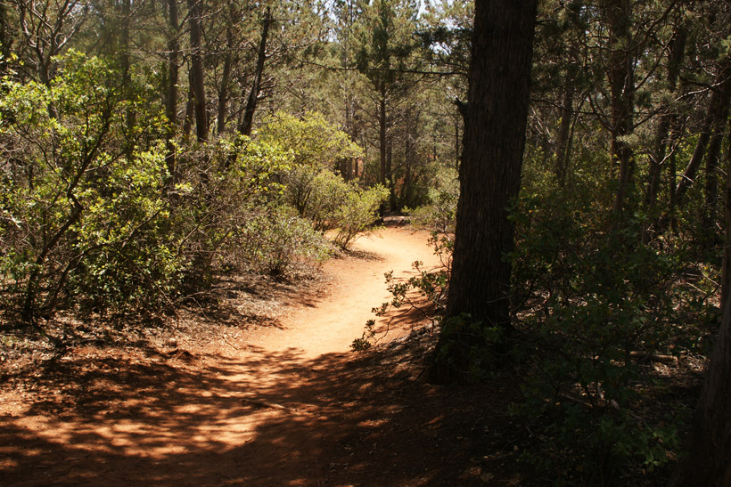
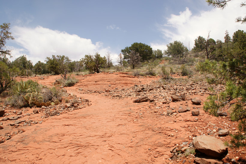
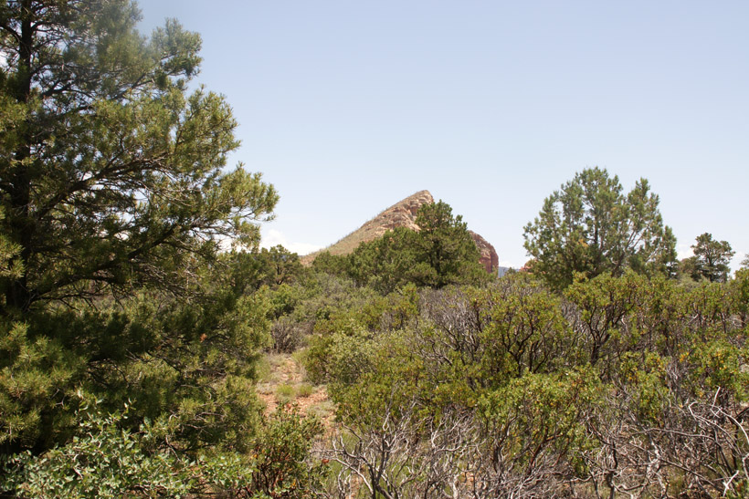
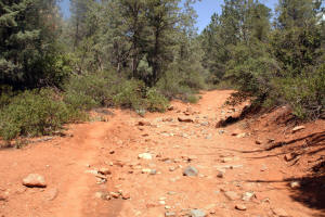
The trail continues North.
|
|
|
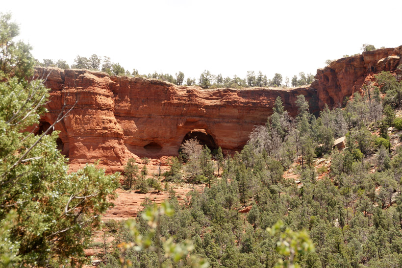
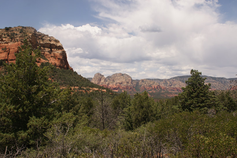
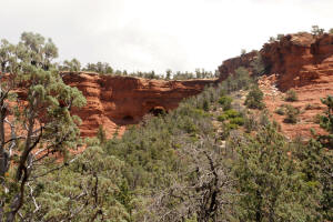
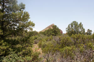
To the right (east) one of Soldier Pass
Arches can be seen.
Go
to Soldier Pass Arches Trail
|
|
|
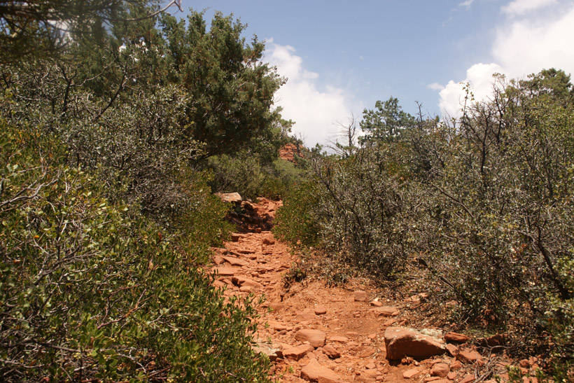
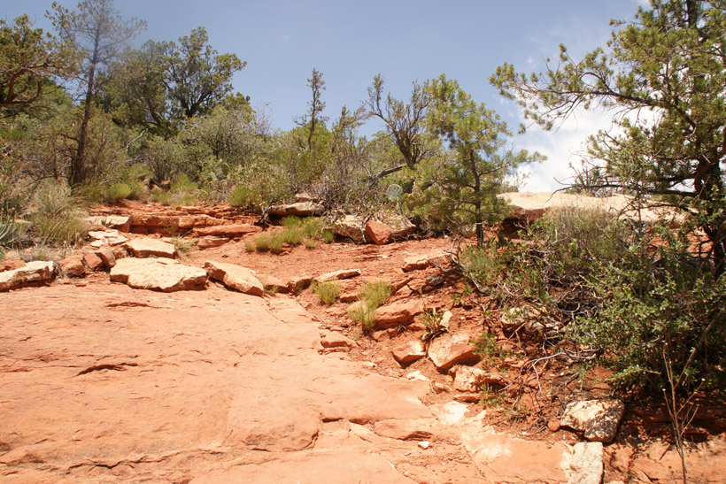
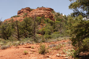
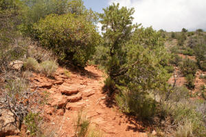
The trail becomes steeper.
|

|
|
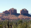
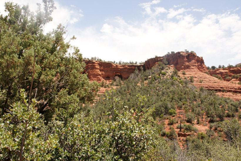
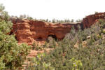
A view to the East of one of Soldier Pass arches.
Go
to Soldier Pass Arches Trail
|

|
|
|
|
|
|
|
|
|
|
|
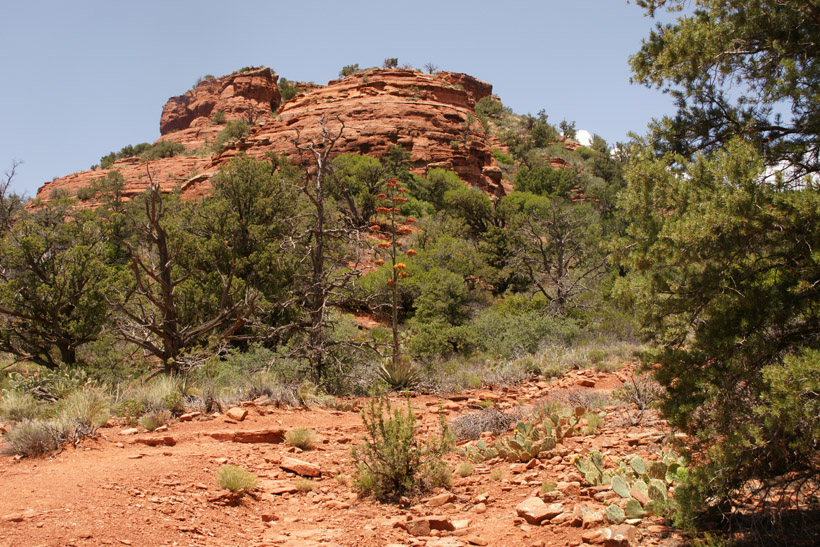
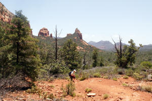
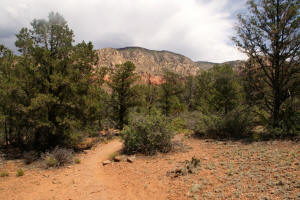
Looking back down the trail. The trail
continues to rise to reach Brins Mesa.
|
|
|
Rock steps aid in ascending the trail.
|

|
|
|
|
|
|
|
|
Care is required as the trail narrows and a steep
grade is to the right (East).
|
|
|
Great care is required as the trail narrows slopes
with a steep drop-off to the right (East).
|
|
|
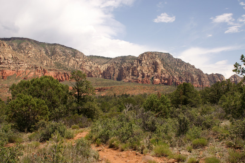
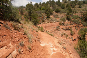
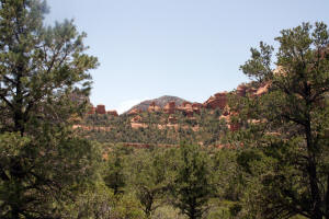
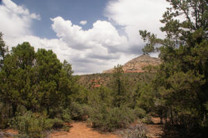
The slope lessens and a large rock mesa is
encountered.
|
|
|
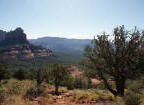
A view back down Soldier Pass.
|
|
|
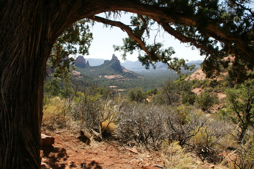
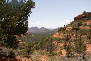
View to the Northeast.
|
|
|
View to the Northwest.
|

|
|
View to the Southwest.
|
|
|
View to the Southeast.
|
|
|
View to the East.
|

|
|
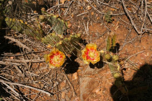
Prickley pear cactus with yellow flowers.
|
|
|
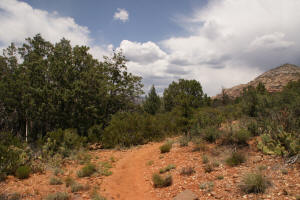
Trail leads Northeast.
|
|
|
Trail leads Northeast.
|
|
|
Soldier Pass trail merges with Brins Mesa Trail.
(Hiker is by the trailhead sign).
|

|
|
|