|
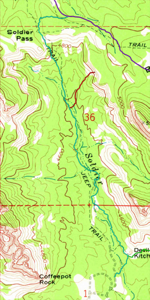
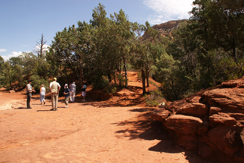
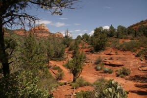
Soldier Pass continues onto the Northwest side of
Devil's Kitchen Sinkhole.
|
|
|
|
|
|
|
|
|
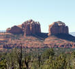
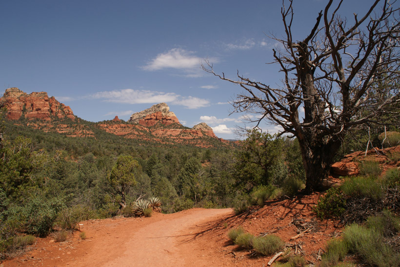
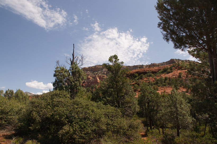
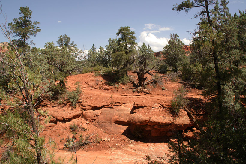
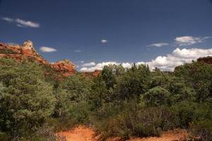
View to the East.
|

|
|
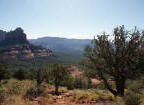
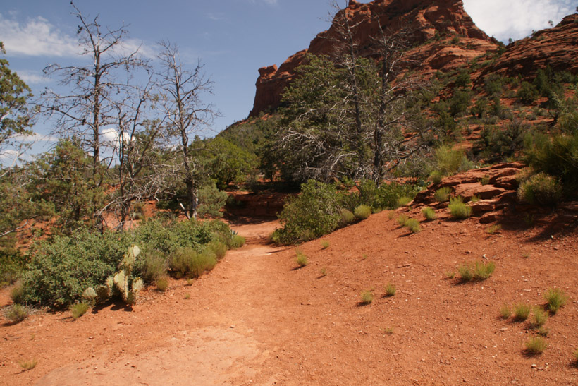
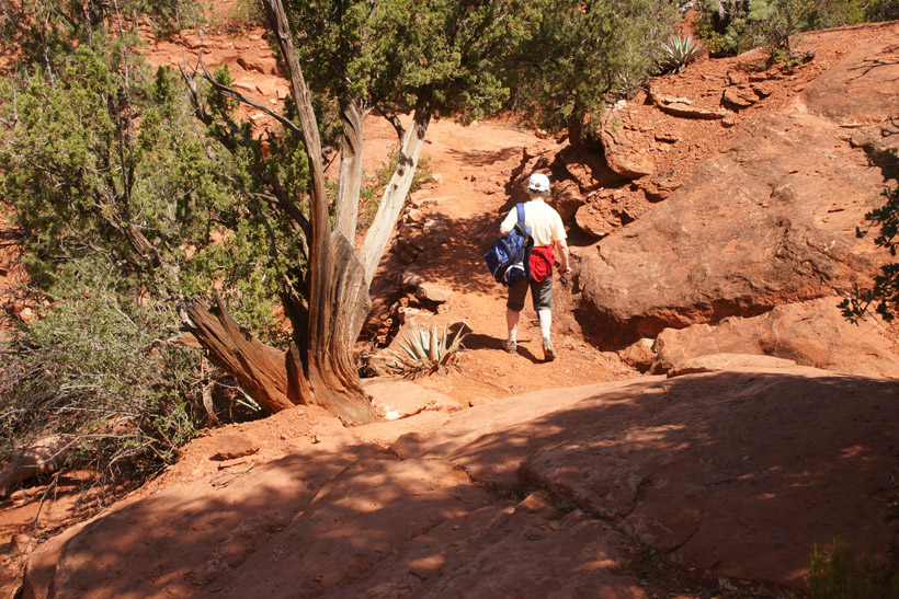
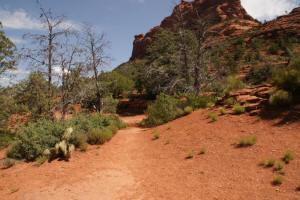
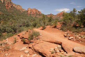
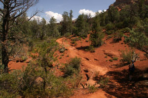
Heading North, up Soldier Pass.
|
|
|
|
|
|
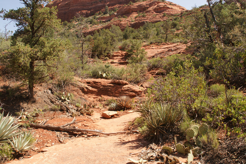
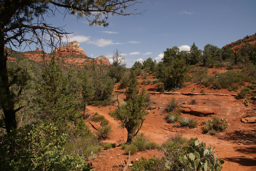
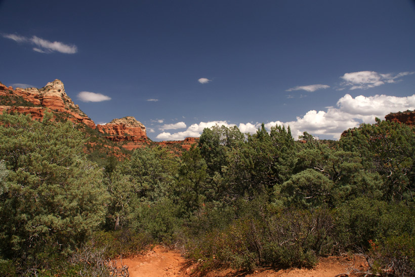
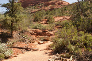
Trail continues North.
|

|
|
|
|
|
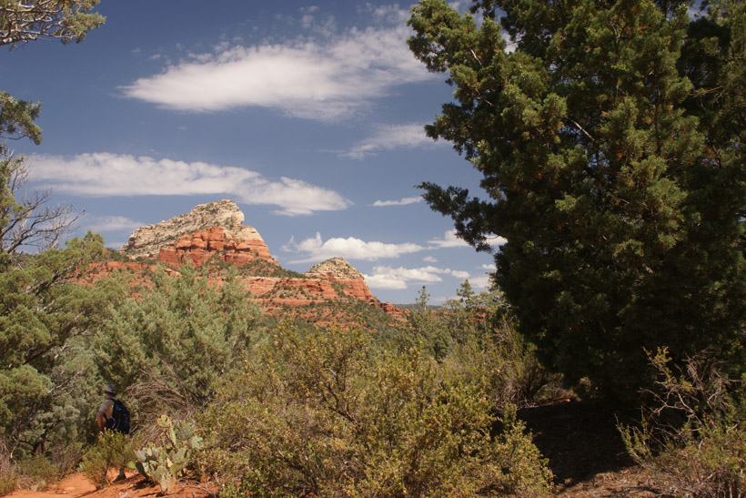
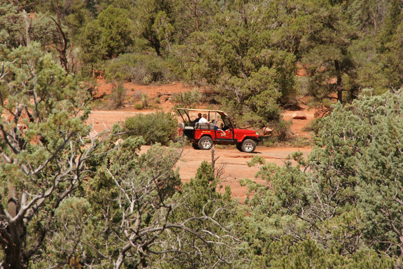
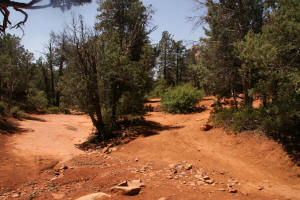
Across the creek bed, a red jeep can be seen on the
jeep trail.
|

|
|
|
|
|
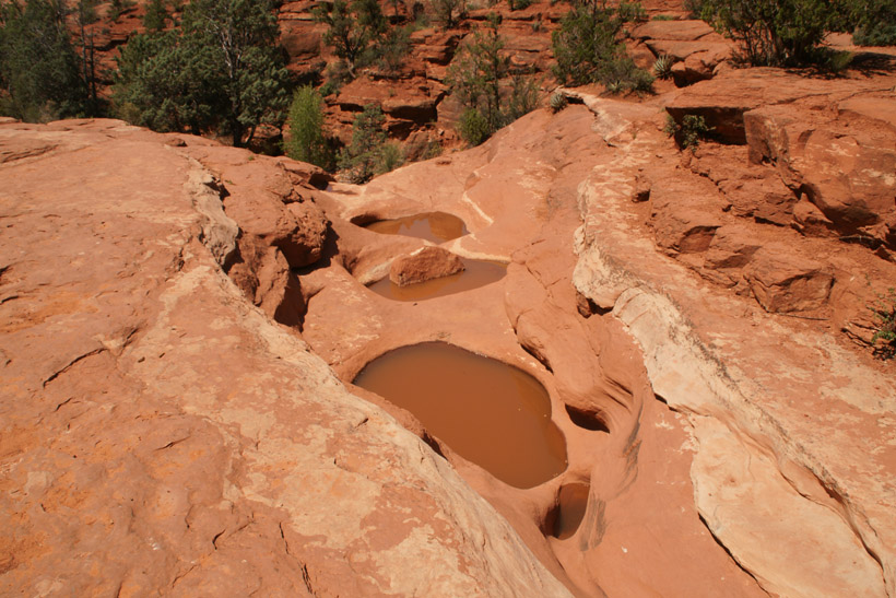
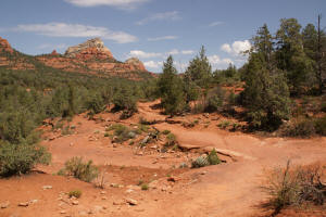
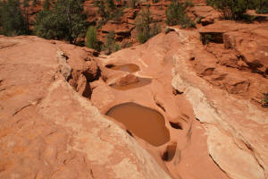
The dry creek bed and the
Seven Sacred Pools are
reached.
|
|
|
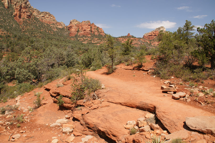
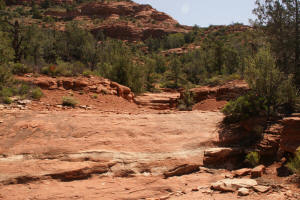
The trail continues to the East (right side) of
the creek - bed.
|

|
|
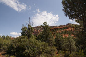
Looking to the Northeast.
|
|
|
The trail continues to the North up the canyon.
|
|
|
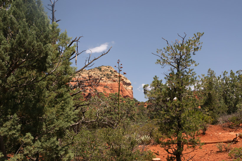
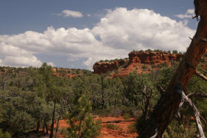
Looking Southwest.
|
|
|
Looking North. Brins Mesa can be seen on the
left side of the horizon.
|
|
|
|
|
|
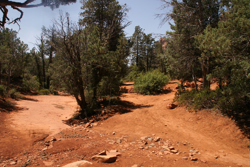
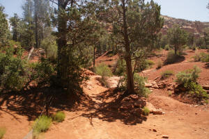
The trail continues North, up the canyon.
|
|
|
|

|
|
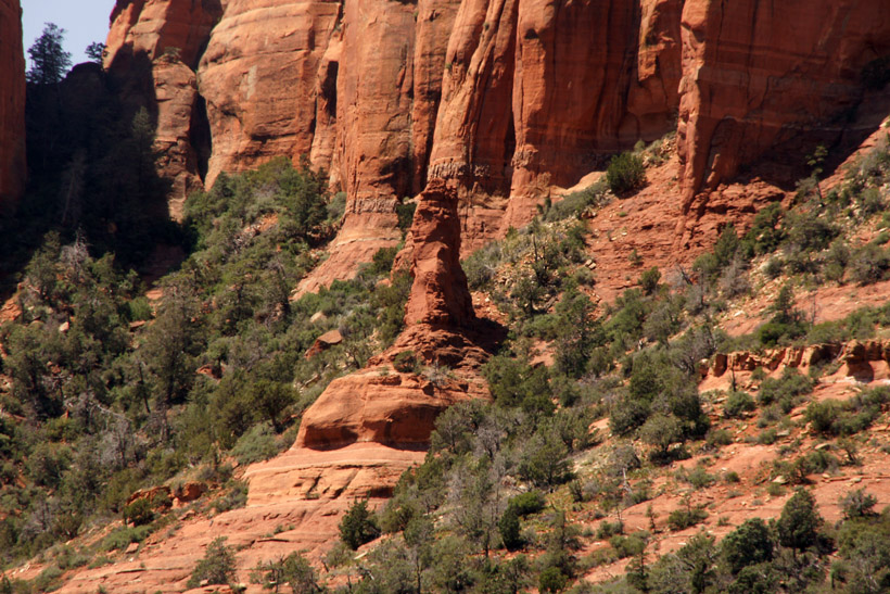
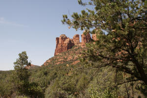
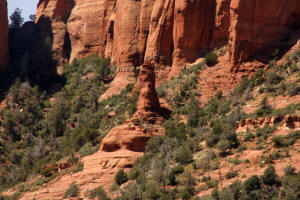
Looking to the West, a spire can be seen.
|
|
|
|

|
|
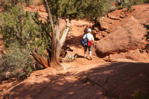
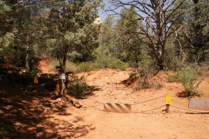
The trail reaches a fence marking the wilderness
area. From here the trail continues up the creek bed.
|
|
|
Looking back down the trail which was just hiked.
|
|
|
Looking southeast towards the end of the jeep
trail (just past the green bush).
|
|
|
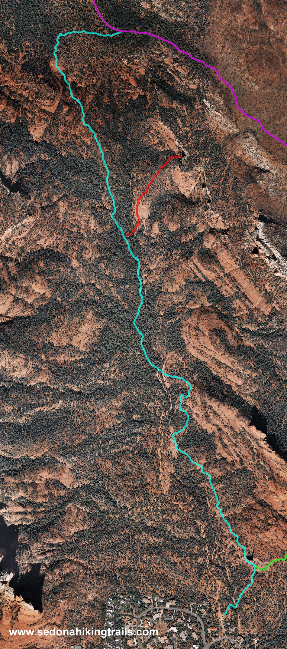
Go To:
Third
Part of Trail - To Brins Mesa
|
|