|
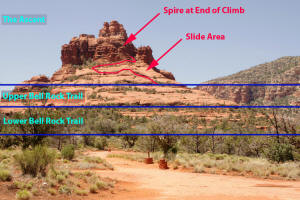
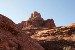
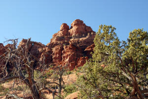
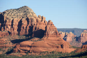
Looking up the northern face of Bell Rock.
Note the central slide area where hikers are trying to ascend.
Click on Pictures to Enlarge
|
 |
|
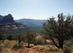
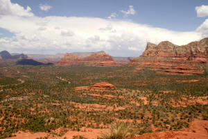
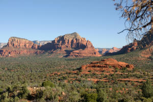
Looking east from the trail leading from the
Courthouse Vista Parking Lot (just north of Bell Rock) to Bell Rock.
|
 |
|
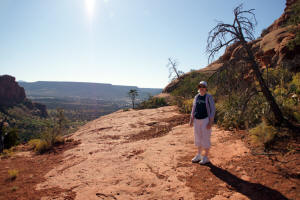
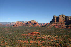
Ascending up Bell Rock Trail. Looking
north shows Baby (Northern) Bell Rock, a large mid-valley rock formation, and one can make out the
Chapel of the Holy Cross on the left hand side of the picture below
the western butte of the Twin Buttes.
|
 |
|
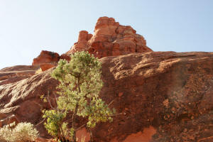
Looking up the northern face of Bell Rock.
|
 |
|
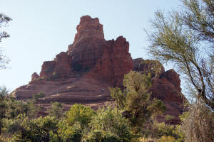
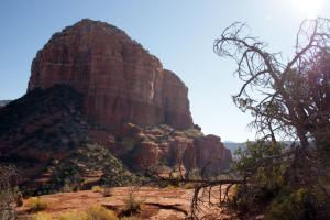
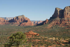
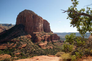
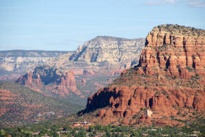
View of the western face of Courthouse Butte
|
 |
|
Midway up Bell Rock looking south.
|
 |
|
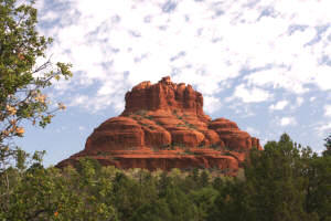
View of the top of Bell Rock
|
 |
|
View to South
|
 |
|
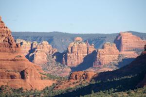
View to the north from Bell Rock. Note Baby
(Northern) Bell Rock, the large mid-valley rock formation. The
valley near the horizon is the pass which contains
Chicken Point. The pass will lead to
Submarine Rock.
|
 |
|
A close up view of the mid-portion of the above
picture reveals the pass that contains "Chicken Point."
|
 |
|
Close up view to the North.
|
 |
|
View of the top of Bell Rock.
|
 |
|
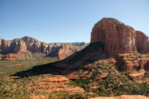
Western face of Courthouse Butte.
|
 |
|
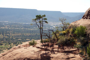
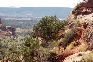
View to the West of the valley just north of
Courthouse Butte - higher up.
|
 |
|
View to the North - higher up.
|
 |
|
Chapel of the Holy Cross
|
 |
|
View to the South from the first portion of the
final ascent to a Spire on the top of Bell Rock.
Note the narrow short dirt foot path which leads to a 10 foot rock
climb.
|
 |